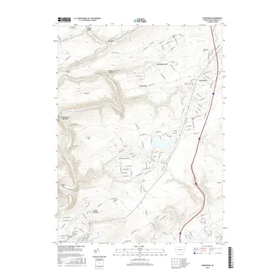
2016 Map of Christmans
USGS Topo · Published 2016About this map
The dramatic canyon of the Lehigh Gorge dominates this 2016 study, where the Lehigh River carves through the Pocono plateau. The borough of Jim Thorpe anchors the southern end of the map, featuring the Jim Thorpe Tomb and several burial grounds including Evergreen Cem and German Cem. To the north, the rail heritage of the region is evident at the Rockport Tunnel and Penn Haven Junction, where transportation lines once navigated the steep river banks.
Find a feature on this map
160 named features on this map. Tap any name to fly to it.
Don’t see what you’re looking for? This feature index may not catch every label — zoom into the map to look around manually.
Map Details
Editions of this 2016 Christmans Map
This is the sole edition of this map. No revisions or reprints were ever made.
Other maps of this area

1889 · Hazleton
USGS Topo · 1:62,500

1891 · Wilkesbarre
USGS Topo · 1:62,500

1891 · Hazleton
USGS Topo · 1:62,500

1893 · Hazleton
USGS Topo · 1:62,500

1894 · Wilkesbarre
USGS Topo · 1:62,500

1922 · Mauch Chunk
USGS Topo · 1:62,500

1922 · Stoddartsville
USGS Topo · 1:62,500

1924 · Stoddartsville
USGS Topo · 1:62,500

1924 · Mauch Chunk
USGS Topo · 1:62,500

1943 · Scranton
USGS Topo · 1:125,000
Featured Places
- Jim Thorpe, PA
- Kidder Township, PA
- CP Independence, Lehigh Township
- Drakes Creek, Penn Forest Township
- Christmans, Penn Forest Township