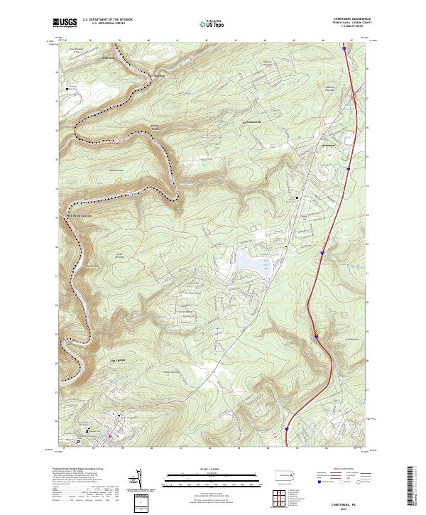
2023 Map of Christmans
USGS Topo · Published 2023About this map
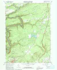
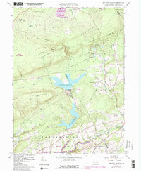
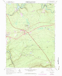
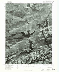
Lehigh Gorge serves as the dominant corridor of this landscape, where the Lehigh River carves a sharp path through the Pocono Mountain terrain. Near Oxbow Bend, the river is paralleled by the D & L Trl and the Lehigh River Water Trl, reflecting the area's transition from an industrial coal-transport artery to a recreation-focused corridor. The settlement of Jim Thorpe sits at the southwestern edge, featuring a concentration of sites for genealogists, including the Jim Thorpe Memorial Cem, Evergreen Cem, and Saint Joseph's Catholic Cem.
Find a feature on this map
159 named features on this map. Tap any name to fly to it.
Don’t see what you’re looking for? This feature index may not catch every label — zoom into the map to look around manually.
Map Details
Editions of this 2023 Christmans Map
This is the sole edition of this map. No revisions or reprints were ever made.
Historical Maps of Unionville Through Time
17 maps found
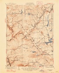
1922 Stoddartsville
Carbon County, PA
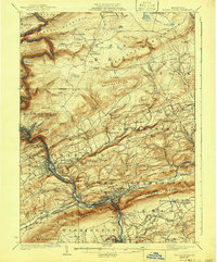
1924 Mauch Chunk
Carbon County, PA
1924 Stoddartsville
Carbon County, PA

1943 Mauch Chunk
Carbon County, PA

1943 Stoddartsville
Carbon County, PA
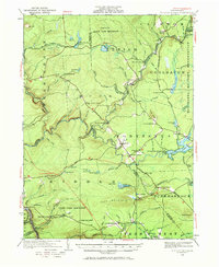
1960 Christmans
Carbon County, PA
1960 Pohopco Mountain
Carbon County, PA
1966 Hickory Run
Carbon County, PA
1976 Hickory Run
Carbon County, PA
1976 Pohopco Mountain
Carbon County, PA
1992 Hickory Run
Carbon County, PA
1997 Christmans
Carbon County, PA
1997 Hickory Run
Carbon County, PA
1999 Pohopoco Mountain
Carbon County, PA
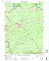
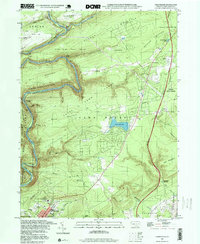
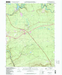
2023 Christmans
Carbon County, PA
2023 Hickory Run
Carbon County, PA
2023 Pohopoco Mountain
Carbon County, PA
Featured Locations
- Jim Thorpe, PA
- Kidder Township, PA
- Penn Forest Township, PA
- CP Independence, Lehigh Township
- Leslie Run, Lehigh Township