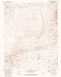
1973 Map of Christmas Canyon
USGS Topo · Published 1986About this map
The China Lake Naval Weapons Center occupies the southern extent of this 1973 survey, marking a landscape defined by restricted military use and arid desert terrain. The area is characterized by significant topographic shifts, most notably the Searles Valley (Depression) which dominates the northwestern quadrant. Drainage patterns like The Pinnacles Wash and Randsburg Wash cut through the alluvial fans, leading toward the central canyon system.
Find a feature on this map
15 named features on this map. Tap any name to fly to it.
Don’t see what you’re looking for? This feature index may not catch every label — zoom into the map to look around manually.
Map Details
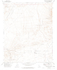
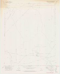
Editions of this 1973 Christmas Canyon Map
3 editions found
Other maps of this area

1915 · Searles Lake
USGS Topo · 1:250,000

1947 · Trona
USGS Topo · 1:250,000

1948 · Trona
USGS Topo · 1:250,000

1949 · Searles Lake
USGS Topo · 1:62,500

1950 · Searles Lake
USGS Topo · 1:62,500

1950 · Wingate Pass
USGS Topo · 1:62,500

1951 · Wingate Pass
USGS Topo · 1:62,500

1953 · Trona
USGS Topo · 1:250,000

1954 · Pilot Knob
USGS Topo · 1:62,500

1954 · Cuddeback Lake
USGS Topo · 1:62,500