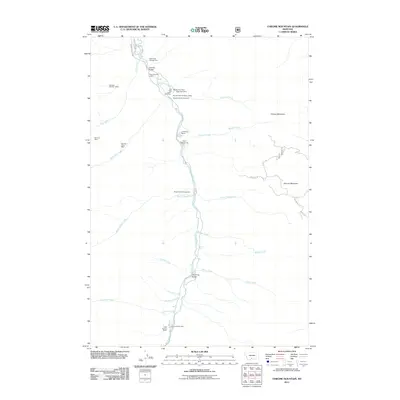
2011 Map of Chrome Mountain
USGS Topo · Published 2011About this map
Nicon Number 1 Mine and several other extraction sites like the Gish Mine and Bonanza Number 3 Mine define the high-elevation economy of this Park County region. The Boulder River serves as the primary drainage and navigational axis, flanked by the Main Boulder Rd and a series of Forest Service routes. This 2011 survey records a landscape where recreation and industrial history meet, evidenced by multiple sites such as Camp-on-the-Boulder and the Chippy Park Campground.
Find a feature on this map
39 named features on this map. Tap any name to fly to it.
Don’t see what you’re looking for? This feature index may not catch every label — zoom into the map to look around manually.
Map Details
Editions of this 2011 Chrome Mountain Map
This is the sole edition of this map. No revisions or reprints were ever made.
Other maps of this area

1891 · Livingston
USGS Topo · 1:250,000

1893 · Livingston
USGS Topo · 1:250,000

1940 · Mt. Cowen
USGS Topo · 1:62,500

1941 · Mt Douglas
USGS Topo · 1:62,500

1943 · Mt Douglas
USGS Topo · 1:62,500

1943 · Mt Cowen
USGS Topo · 1:62,500

1947 · Bozeman
USGS Topo · 1:250,000

1948 · Bozeman
USGS Topo · 1:250,000

1951 · Mount Rae
USGS Topo · 1:24,000

1951 · Squaw Peak
USGS Topo · 1:24,000