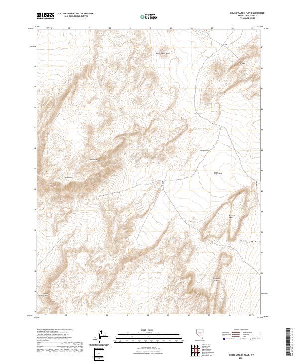
2021 Map of Chuck Wagon Flat
USGS Topo · Published 2021About this map
Citadel Mtn and the volcanic-influenced terrain of the Pancake Range dominate this high-desert landscape in Nye County. This modern survey illustrates the geologic complexity of the Great Basin, where features like Big Fault Mesa and Big Fault Ridge reflect the area's tectonic history. Settlement is sparse in this arid region, though the presence of Tule Spring highlights the vital importance of natural water sources for cattle ranching and survival in the high scrub.
Find a feature on this map
14 named features on this map. Tap any name to fly to it.
Don’t see what you’re looking for? This feature index may not catch every label — zoom into the map to look around manually.
Map Details
Editions of this 2021 Chuck Wagon Flat Map
This is the sole edition of this map. No revisions or reprints were ever made.
Other maps of this area

1956 · Lund
USGS Topo · 1:250,000

1956 · Tonopah
USGS Topo · 1:250,000

1959 · Tonopah
USGS Topo · 1:250,000

1960 · Lund
USGS Topo · 1:250,000

1962 · Tonopah
USGS Topo · 1:250,000

1967 · Lunar Crater
USGS Topo · 1:62,500

1967 · Buckwheat Rim
USGS Topo · 1:24,000

1967 · Palisade Mesa
USGS Topo · 1:24,000

1967 · Lunar Crater
USGS Topo · 1:24,000
1967 · Chuck Wagon Flat
USGS Topo · 1:24,000