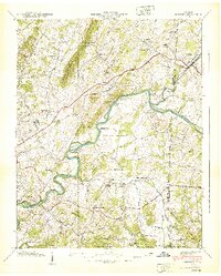
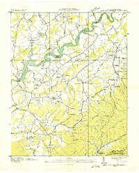
1939 Map of Chuckey
USGS Topo · Published 1939About this map
The Nolichucky River winds through a landscape of ridges and bottomlands on the border of Greene and Washington Counties just before the 1940s. The settlement of Chuckey serves as a central point along the Southern railroad line, which also connects to Rheatown and Limestone. This survey captures a rural Appalachian economy defined by its river crossings, including Earnest Bridge and Brown Bridge, and a dense network of country institutions.
Find a feature on this map
63 named features on this map. Tap any name to fly to it.
Don’t see what you’re looking for? This feature index may not catch every label — zoom into the map to look around manually.
Map Details
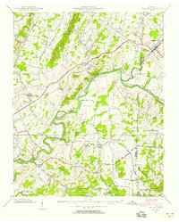
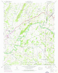
Editions of this 1939 Chuckey Map
3 editions found
Other maps of this area

1892 · Greeneville
USGS Topo · 1:125,000

1896 · Greeneville
USGS Topo · 1:125,000

1904 · Greeneville
USGS Topo · 1:125,000

1935 · Surgoinsville
USGS Topo · 1:48,000

1935 · Baileyton
USGS Topo · 1:24,000

1935 · Leesburg
USGS Topo · 1:24,000

1935 · Fall Branch
USGS Topo · 1:48,000
1935 · Jearoldstown
USGS Topo · 1:24,000

1936 · Greystone
USGS Topo · 1:24,000
1936 · Lake Davy Crockett
USGS Topo · 1:24,000