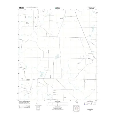
2012 Map of Chumuckla
USGS Topo · Published 2012About this map
Chumuckla and the nearby settlement of New York center this landscape in northern Santa Rosa County. The terrain is defined by a dense network of private airstrips, including Wells Flying Service Airport, Odom's Flying Service Airport, Buchanan Airport, and Chumuckla 20-20 Airport, reflecting a local aviation culture. Water features are prominent throughout the area, notably Pond Cr, Forty Acre Pond, and the paired John C Pace Pond One and John C Pace Pond Two. For those researching family history, Chumuckla Cem is a key landmark located near the junction of Chumuckla Springs Rd and Molino Bridge Rd. Numerous family-named roads, such as Russell Wade Rd and N Bob Penton Rd, suggest a long-standing community tied to the land and its drainage systems like Bell Cr and McDavid Cr.
Find a feature on this map
78 named features on this map. Tap any name to fly to it.
Don’t see what you’re looking for? This feature index may not catch every label — zoom into the map to look around manually.
Map Details
Editions of this 2012 Chumuckla Map
This is the sole edition of this map. No revisions or reprints were ever made.
Other maps of this area

1920 · Milton
USGS Topo · 1:62,500

1921 · Muscogee
USGS Topo · 1:62,500

1941 · Muscogee
USGS Topo · 1:62,500

1941 · Milton
USGS Topo · 1:62,500

1941 · Century
USGS Topo · 1:62,500

1943 · Muscogee
USGS Topo · 1:62,500

1943 · Century
USGS Topo · 1:62,500

1943 · Milton
USGS Topo · 1:62,500

1943 · Jay
USGS Topo · 1:62,500

1957 · Pensacola
USGS Topo · 1:250,000