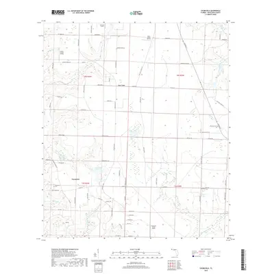
2018 Map of Chumuckla
USGS Topo · Published 2018About this map
Chumuckla serves as the primary hub for this rural stretch of the Florida Panhandle, situated within a landscape defined by small-scale aviation and winding creek drainages. Private airstrips and services like Buchanan Airport, Chumuckla 20-20 Airport, Odom's Flying Service, and Wells Flying Service suggest a region where aerial access is as vital as the road network. The community of New York sits just to the north, connected by Chumuckla Hwy and a grid of local routes including Peanut Trl and Hoecake Ln, which reflect the area's agricultural identity.
Find a feature on this map
86 named features on this map. Tap any name to fly to it.
Don’t see what you’re looking for? This feature index may not catch every label — zoom into the map to look around manually.
Map Details
Editions of this 2018 Chumuckla Map
This is the sole edition of this map. No revisions or reprints were ever made.
Other maps of this area

1920 · Milton
USGS Topo · 1:62,500

1921 · Muscogee
USGS Topo · 1:62,500

1941 · Muscogee
USGS Topo · 1:62,500

1941 · Milton
USGS Topo · 1:62,500

1941 · Century
USGS Topo · 1:62,500

1943 · Muscogee
USGS Topo · 1:62,500

1943 · Century
USGS Topo · 1:62,500

1943 · Milton
USGS Topo · 1:62,500

1943 · Jay
USGS Topo · 1:62,500

1957 · Pensacola
USGS Topo · 1:250,000