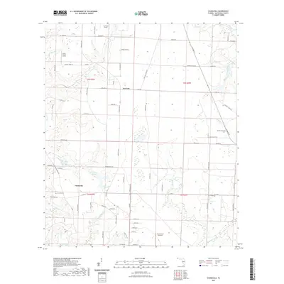
2021 Map of Chumuckla
USGS Topo · Published 2021About this map
Chumuckla serves as the primary hub for this portion of Santa Rosa County, Florida, characterized by its agricultural heritage and modern aviation footprints. The area is defined by a series of north-south drainage systems, including Moore Cr, Bell Cr, and Delaney Cr, which feed into larger regional water bodies. Aviation is a notable presence in this rural landscape, marked by Buchanan Airport in the north and the Chumuckla 20-20 Airport to the south, alongside local operations like Odom's Flying Service.
Find a feature on this map
82 named features on this map. Tap any name to fly to it.
Don’t see what you’re looking for? This feature index may not catch every label — zoom into the map to look around manually.
Map Details
Editions of this 2021 Chumuckla Map
This is the sole edition of this map. No revisions or reprints were ever made.
Other maps of this area

1920 · Milton
USGS Topo · 1:62,500

1921 · Muscogee
USGS Topo · 1:62,500

1941 · Muscogee
USGS Topo · 1:62,500

1941 · Milton
USGS Topo · 1:62,500

1941 · Century
USGS Topo · 1:62,500

1943 · Muscogee
USGS Topo · 1:62,500

1943 · Century
USGS Topo · 1:62,500

1943 · Milton
USGS Topo · 1:62,500

1943 · Jay
USGS Topo · 1:62,500

1957 · Pensacola
USGS Topo · 1:250,000