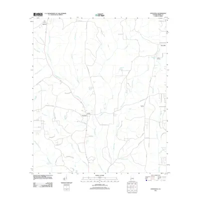
2011 Map of Chunchula
USGS Topo · Published 2011About this map
The Chunchula Gas Field anchors the economy of this Mobile County landscape, where the traditional Gulf Coast timber and farming roots meet modern industrial extraction. Settlement is concentrated along the central north-south axis, with Chunchula serving as a primary hub alongside the Chunchula Post Office. Further north and east, the communities of Gulfcrest and Turnerville are clearly defined, each maintaining its own local history through the Gulf Crest Cemetery and Turnerville Cemetery.
Find a feature on this map
61 named features on this map. Tap any name to fly to it.
Don’t see what you’re looking for? This feature index may not catch every label — zoom into the map to look around manually.
Map Details
Editions of this 2011 Chunchula Map
This is the sole edition of this map. No revisions or reprints were ever made.
Other maps of this area

1941 · Chickasaw
USGS Topo · 1:31,680

1941 · Creola
USGS Topo · 1:62,500

1942 · Kushla
USGS Topo · 1:31,680

1942 · Deer Park
USGS Topo · 1:62,500

1942 · Wilmer
USGS Topo · 1:62,500

1943 · Creola
USGS Topo · 1:62,500

1943 · Chickasaw
USGS Topo · 1:31,680

1943 · Deer Park
USGS Topo · 1:62,500

1943 · Citronelle
USGS Topo · 1:62,500

1944 · Wilmer
USGS Topo · 1:62,500