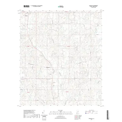
2018 Map of Chunchula
USGS Topo · Published 2018About this map
Chunchula and Gulfcrest anchor this portion of Mobile County, where the landscape is defined by an intricate network of waterways draining toward the coast. The topography is marked by numerous branches and creeks, such as Chickasaw Cr and Beaver Pond Cr, which weave between low-lying ridges. This 2018 survey illustrates the modern road network, including St Stephens Rd and Old Citronelle Hwy, overlaid on a rural setting that maintains deep ties to its past through sites like Gulf Crest Cem and Turnerville Cem.
Find a feature on this map
67 named features on this map. Tap any name to fly to it.
Don’t see what you’re looking for? This feature index may not catch every label — zoom into the map to look around manually.
Map Details
Editions of this 2018 Chunchula Map
This is the sole edition of this map. No revisions or reprints were ever made.
Other maps of this area

1941 · Chickasaw
USGS Topo · 1:31,680

1941 · Creola
USGS Topo · 1:62,500

1942 · Kushla
USGS Topo · 1:31,680

1942 · Deer Park
USGS Topo · 1:62,500

1942 · Wilmer
USGS Topo · 1:62,500

1943 · Creola
USGS Topo · 1:62,500

1943 · Chickasaw
USGS Topo · 1:31,680

1943 · Deer Park
USGS Topo · 1:62,500

1943 · Citronelle
USGS Topo · 1:62,500

1944 · Wilmer
USGS Topo · 1:62,500