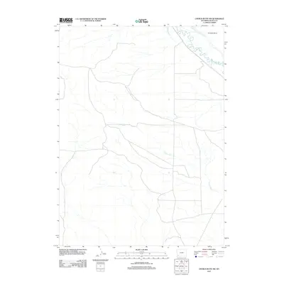
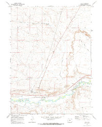
2012 Map of Church Butte NW
USGS Topo · Published 2012About this map
Hams Fork meanders through this high-desert corner of Lincoln County, defined by its complex network of historical irrigation channels. The presence of the Old Mexican Ditch and the long-titled Winslow Hallock and Capen Ditch points to a landscape fundamentally shaped by water rights and early ranching efforts in the Wyoming basin. These man-made features diverted vital flow from the river to support the surrounding arid lands, including the elevated terrain of Chrisman Bench. Throughout the southern and central portions of the quadrangle, the drainage pattern is further detailed by the seasonal flows of Zieglers Wash, which carves through the terrain as it heads toward the river basin. The map provides a precise record of these early 21st-century hydrological engineering works and the natural topography they navigate.
Find a feature on this map
5 named features on this map. Tap any name to fly to it.
Don’t see what you’re looking for? This feature index may not catch every label — zoom into the map to look around manually.
Map Details
Editions of this 2012 Church Butte NW Map
This is the sole edition of this map. No revisions or reprints were ever made.
Other maps of this area

1954 · Ogden
USGS Topo · 1:250,000

1958 · Ogden
USGS Topo · 1:250,000

1960 · Ogden
USGS Topo · 1:250,000

1969 · Church Butte NW
USGS Topo · 1:24,000
1969 · Moxa
USGS Topo · 1:24,000
1969 · Verne
USGS Topo · 1:24,000

1969 · Roberson Creek
USGS Topo · 1:24,000

1969 · Hampton
USGS Topo · 1:24,000
1969 · Church Butte
USGS Topo · 1:24,000
1969 · Opal
USGS Topo · 1:24,000