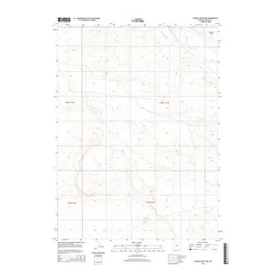
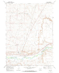
2015 Map of Church Butte NW
USGS Topo · Published 2015About this map
Hams Fork meanders through the northeastern corner of this Lincoln County landscape, defining the local hydrology alongside several significant irrigation features. The terrain is characterized by the prominent Chrisman Bench, a landform that overlooks the surrounding basin. Highlighting the region's agricultural infrastructure, the Old Mexican Ditch and the Winslow Hallock and Capen Ditch trace the movement of water across the high plains, illustrating the necessity of water management in this arid environment. To the south, the drainage pattern is marked by the winding course of Zieglers Wash. This map provides a clear view of the surveyed townships, including t20n r113w and t19n r114w, showcasing the stark, open topography of southwestern Wyoming.
Find a feature on this map
9 named features on this map. Tap any name to fly to it.
Don’t see what you’re looking for? This feature index may not catch every label — zoom into the map to look around manually.
Map Details
Editions of this 2015 Church Butte NW Map
This is the sole edition of this map. No revisions or reprints were ever made.
Other maps of this area

1954 · Ogden
USGS Topo · 1:250,000

1958 · Ogden
USGS Topo · 1:250,000

1960 · Ogden
USGS Topo · 1:250,000

1969 · Church Butte NW
USGS Topo · 1:24,000
1969 · Moxa
USGS Topo · 1:24,000
1969 · Verne
USGS Topo · 1:24,000

1969 · Roberson Creek
USGS Topo · 1:24,000

1969 · Hampton
USGS Topo · 1:24,000
1969 · Church Butte
USGS Topo · 1:24,000
1969 · Opal
USGS Topo · 1:24,000