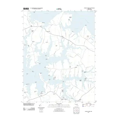
2011 Map of Church Creek
USGS Topo · Published 2011About this map
The intricate shoreline of Dorchester County, Maryland, is defined by the labyrinthine reaches of the Little Choptank River and Fishing Creek. This coastal landscape is home to small, historic waterfront communities like Madison, Woolford, and Church Creek, many of which maintain their own post offices and local landmarks. The area's cultural history is preserved in several burial grounds, including the Saint Johns Chapel Cemetery near Kilmaurie and the Antioch Cemetery near Dailsville.
Find a feature on this map
114 named features on this map. Tap any name to fly to it.
Don’t see what you’re looking for? This feature index may not catch every label — zoom into the map to look around manually.
Map Details
Editions of this 2011 Church Creek Map
This is the sole edition of this map. No revisions or reprints were ever made.
Other maps of this area

1892 · Drum Point
USGS Topo · 1:62,500

1893 · Sharps Island
USGS Topo · 1:62,500

1898 · Choptank
USGS Topo · 1:125,000

1898 · St. Marys
USGS Topo · 1:125,000

1901 · Drum Point
USGS Topo · 1:62,500

1904 · Sharps Island
USGS Topo · 1:62,500

1904 · Oxford
USGS Topo · 1:62,500

1905 · Crapo
USGS Topo · 1:62,500

1905 · Drum Point
USGS Topo · 1:62,500

1906 · St. Marys
USGS Topo · 1:125,000