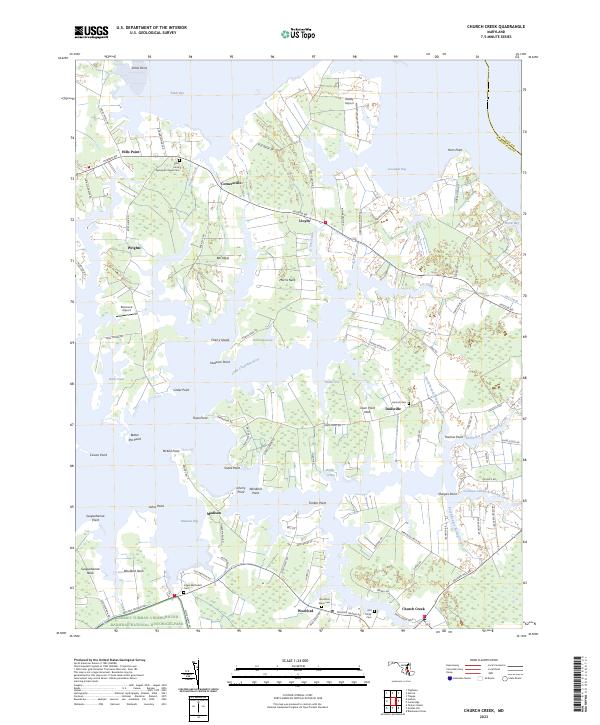
2023 Map of Church Creek
USGS Topo · Published 2023About this map
The Harriet Tubman Underground Railroad National Historical Park anchors the southern landscape of this Dorchester County peninsula, preserving a critical geography of the Eastern Shore. The terrain is defined by a dense network of tidal inlets and points along the Little Choptank River, where long-established waterman settlements like Madison and Woolford sit at the intersection of land and marsh. The map reveals a complex interface of private landings and historic churchyards, including the Old Trinity Cem and Joppa Methodist Cem, which serve as quiet markers of the region's deep genealogical roots.
Find a feature on this map
107 named features on this map. Tap any name to fly to it.
Don’t see what you’re looking for? This feature index may not catch every label — zoom into the map to look around manually.
Map Details
Editions of this 2023 Church Creek Map
This is the sole edition of this map. No revisions or reprints were ever made.
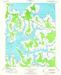
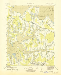
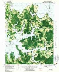
Historical Maps of Dailsville Through Time
4 maps found