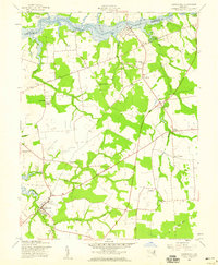
1958 Map of Church Hill
USGS Topo · Published 1959About this map
Chester River tidewaters define the northern edge of this 1950s study, where the boundary between Kent and Queen Anne's counties follows the winding channel. The landscape is marked by a network of rural settlements and family-named landings, such as Travilla Wharf and Kirby Landing, reflecting the historic importance of water-borne commerce and transport in the region. Inland, the town of Church Hill serves as a local hub, connected to outlying hamlets like Pondtown and Ewingville by a web of routes including Foreman Road.
Find a feature on this map
44 named features on this map. Tap any name to fly to it.
Don’t see what you’re looking for? This feature index may not catch every label — zoom into the map to look around manually.
Map Details
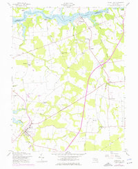
Editions of this 1958 Church Hill Map
2 editions found
Other maps of this area

1898 · Tolchester
USGS Topo · 1:125,000

1899 · Dover
USGS Topo · 1:125,000

1900 · Cecilton
USGS Topo · 1:62,500

1900 · Betterton
USGS Topo · 1:62,500

1901 · Chestertown
USGS Topo · 1:62,500

1903 · Tolchester
USGS Topo · 1:125,000

1905 · Barclay
USGS Topo · 1:62,500

1906 · Dover
USGS Topo · 1:125,000

1908 · Tolchester
USGS Topo · 1:125,000

1920 · Dover
USGS Topo · 1:125,000