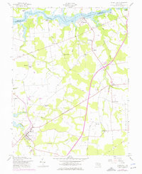
1958 Map of Church Hill
USGS Topo · Published 1976About this map
The Chester River forms a wide, tidal northern boundary for this Maryland Eastern Shore landscape, winding past historical landings like Deep Landing and Ford Landing. The river-dependent economy of the mid-20th century is evident in the transition from waterside sites such as Travilla Wharf to inland agricultural hubs like Church Hill. A network of rural crossroads defines the interior, where settlements like McGinnes and Pondtown served as local centers for surrounding farmsteads.
Find a feature on this map
44 named features on this map. Tap any name to fly to it.
Don’t see what you’re looking for? This feature index may not catch every label — zoom into the map to look around manually.
Map Details
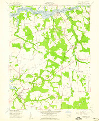
Editions of this 1958 Church Hill Map
2 editions found
Other maps of this area

1898 · Tolchester
USGS Topo · 1:125,000

1899 · Dover
USGS Topo · 1:125,000

1900 · Cecilton
USGS Topo · 1:62,500

1900 · Betterton
USGS Topo · 1:62,500

1901 · Chestertown
USGS Topo · 1:62,500

1903 · Tolchester
USGS Topo · 1:125,000

1905 · Barclay
USGS Topo · 1:62,500

1906 · Dover
USGS Topo · 1:125,000

1908 · Tolchester
USGS Topo · 1:125,000

1920 · Dover
USGS Topo · 1:125,000