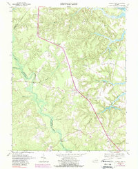
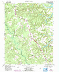
1968 Map of Church View
USGS Topo · Published 1988About this map
The Rappahannock River defines the northeastern boundary of this Middle Peninsula landscape, where tidal creeks and dense wetlands like Dragon Swamp carve through the coastal plain. In the late 1960s, the area retained a distinctly rural character organized around small crossroads and parish life. Local activity centers on Church View and Jamaica, settlements anchored by a high density of country churches such as Glebe Landing Ch, Union Shiloh Ch, and Hermitage Ch. The map illustrates a landscape where geography and community are inextricably linked to the water; numerous swamps like Nickleberry Swamp and Wyatt Swamp dictate the winding paths of secondary roads. Genealogists and historians can trace family locations through named sites like Farley Park Corner and Warner, or locate older burial grounds at Mt Zion Cem.
Find a feature on this map
44 named features on this map. Tap any name to fly to it.
Don’t see what you’re looking for? This feature index may not catch every label — zoom into the map to look around manually.
Map Details
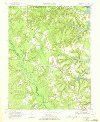
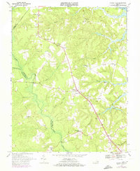
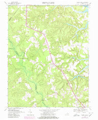
Editions of this 1968 Church View Map
5 editions found
Other maps of this area

1917 · Urbanna
USGS Topo · 1:62,500

1917 · Morattico
USGS Topo · 1:62,500

1918 · Tappahannock
USGS Topo · 1:62,500

1918 · Morattico
USGS Topo · 1:62,500

1919 · New Kent
USGS Topo · 1:62,500

1919 · Tappahannock
USGS Topo · 1:62,500

1926 · Morattico
USGS Topo · 1:62,500

1943 · Richmond
USGS Topo · 1:250,000

1944 · Dunnsville
USGS Topo · 1:31,680

1944 · Morattico
USGS Topo · 1:31,680