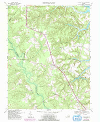
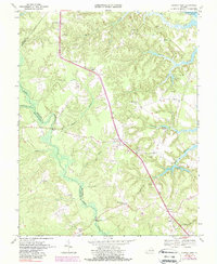
1968 Map of Church View
USGS Topo · Published 1992About this map
The Rappahannock River forms the northeastern boundary of this survey, where it meets a complex network of coastal wetlands and low-lying drainages. The landscape is defined by the winding course of Dragon Swamp, which separates Middlesex from King and Queen County. This area in the late 1960s was characterized by small agricultural hamlets and crossroads communities such as Jamaica, Samos, and Church View. A dense concentration of rural houses of worship, including Union Shiloh Ch, Hermitage Ch, and Forest Chapel, suggests a long-standing social fabric centered on these local institutions.
Find a feature on this map
41 named features on this map. Tap any name to fly to it.
Don’t see what you’re looking for? This feature index may not catch every label — zoom into the map to look around manually.
Map Details
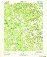
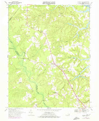
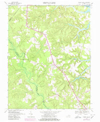
Editions of this 1968 Church View Map
5 editions found
Other maps of this area

1917 · Urbanna
USGS Topo · 1:62,500

1917 · Morattico
USGS Topo · 1:62,500

1918 · Tappahannock
USGS Topo · 1:62,500

1918 · Morattico
USGS Topo · 1:62,500

1919 · New Kent
USGS Topo · 1:62,500

1919 · Tappahannock
USGS Topo · 1:62,500

1926 · Morattico
USGS Topo · 1:62,500

1943 · Richmond
USGS Topo · 1:250,000

1944 · Dunnsville
USGS Topo · 1:31,680

1944 · Morattico
USGS Topo · 1:31,680