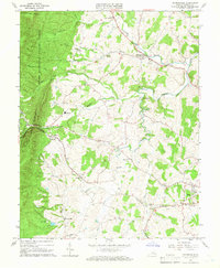
1964 Map of Churchville
USGS Topo · Published 1966About this map
Swoope and Churchville anchor this mid-1960s landscape, where the agricultural flats of the Shenandoah Valley meet the rising terrain of Little North Mountain. The Middle River snakes through the center of the sheet, joined by smaller drainages like Jennings Branch and Whisky Creek. This area shows a well-established network of rural institutions, including numerous churches such as Jerusalem Ch and Bethlehem Cem Ch, alongside longstanding community landmarks like Trimbles Mill.
Find a feature on this map
50 named features on this map. Tap any name to fly to it.
Don’t see what you’re looking for? This feature index may not catch every label — zoom into the map to look around manually.
Map Details
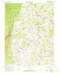
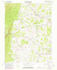
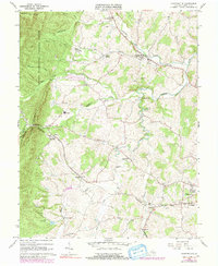
Editions of this 1964 Churchville Map
4 editions found
Other maps of this area

1894 · Staunton
USGS Topo · 1:125,000

1924 · Mc Dowell
USGS Topo · 1:62,500

1943 · Craigsville
USGS Topo · 1:62,500

1944 · Parnassus
USGS Topo · 1:62,500

1944 · Mc Dowell
USGS Topo · 1:62,500

1944 · Staunton
USGS Topo · 1:62,500

1945 · Craigsville
USGS Topo · 1:62,500

1946 · Mc Dowell
USGS Topo · 1:62,500

1947 · Staunton
USGS Topo · 1:62,500

1947 · Parnassus
USGS Topo · 1:62,500