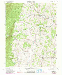
1964 Map of Churchville
USGS Topo · Published 1991About this map
The Middle River valley and the eastern slopes of Little North Mountain define this mid-century portrait of Augusta County. Settled communities like Churchville and Swoope serve as anchors in an agricultural landscape marked by Numerous family-named landmarks and local burial grounds, including the Crosby Cem and Green Hill Cem. The transportation network is dominated by the Chesapeake and Ohio railroad corridor, which follows the natural gaps in the terrain near Buffalo Gap.
Find a feature on this map
47 named features on this map. Tap any name to fly to it.
Don’t see what you’re looking for? This feature index may not catch every label — zoom into the map to look around manually.
Map Details
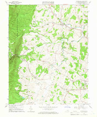
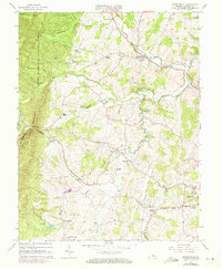
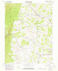
Editions of this 1964 Churchville Map
4 editions found
Other maps of this area

1894 · Staunton
USGS Topo · 1:125,000

1924 · Mc Dowell
USGS Topo · 1:62,500

1943 · Craigsville
USGS Topo · 1:62,500

1944 · Parnassus
USGS Topo · 1:62,500

1944 · Mc Dowell
USGS Topo · 1:62,500

1944 · Staunton
USGS Topo · 1:62,500

1945 · Craigsville
USGS Topo · 1:62,500

1946 · Mc Dowell
USGS Topo · 1:62,500

1947 · Staunton
USGS Topo · 1:62,500

1947 · Parnassus
USGS Topo · 1:62,500