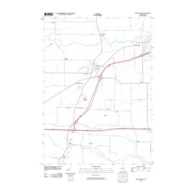
2010 Map of Churchville
USGS Topo · Published 2010About this map
Oatka Creek and Black Creek define the drainage of this Western New York landscape, which is characterized by a dense network of country roads and agricultural settlements. The area around Bergen and Churchville shows significant infrastructure including major highway interchanges and Ely Air Park. Genealogists will find a high concentration of burial grounds, such as the Saint Brigids Catholic Cemetery and the Stone Church Rural Cemetery. The southern portion of the map near North Le Roxy features the scenic Buttermilk Falls and the sprawling McPherson Orchards. This 2010 survey captures the transition between rural farmland and the developing outskirts of local townships, preserved through landmarks like Pinnacle Hill and the small hamlet of Beulah.
Find a feature on this map
70 named features on this map. Tap any name to fly to it.
Don’t see what you’re looking for? This feature index may not catch every label — zoom into the map to look around manually.
Map Details
Editions of this 2010 Churchville Map
This is the sole edition of this map. No revisions or reprints were ever made.
Other maps of this area

1897 · Albion
USGS Topo · 1:62,500

1899 · Brockport
USGS Topo · 1:62,500

1904 · Batavia
USGS Topo · 1:62,500

1904 · Caledonia
USGS Topo · 1:62,500

1932 · Spencerport
USGS Topo · 1:24,000

1934 · Spencerport
USGS Topo · 1:24,000

1934 · Brockport
USGS Topo · 1:24,000

1934 · Clifton
USGS Topo · 1:24,000

1935 · Churchville
USGS Topo · 1:24,000

1944 · Churchville
USGS Topo · 1:31,680