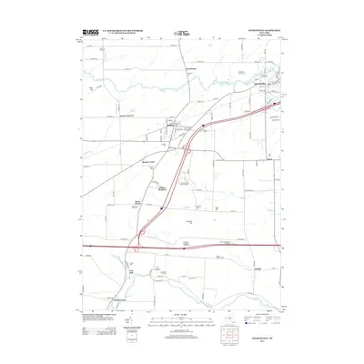
2013 Map of Churchville
USGS Topo · Published 2013About this map
Bergen and Churchville serve as primary hubs in this western New York landscape, where the agricultural legacy is documented through family-named sites such as Miller Brothers Farm and Kohlman Farms. The region is defined by a series of glacial drumlins and hills, including Pinnacle Hill, Science Hill, and Torpy Hill, which influence the drainage patterns of waterways like Black Cr and Oatka Cr.
Find a feature on this map
114 named features on this map. Tap any name to fly to it.
Don’t see what you’re looking for? This feature index may not catch every label — zoom into the map to look around manually.
Map Details
Editions of this 2013 Churchville Map
This is the sole edition of this map. No revisions or reprints were ever made.
Other maps of this area

1897 · Albion
USGS Topo · 1:62,500

1899 · Brockport
USGS Topo · 1:62,500

1904 · Batavia
USGS Topo · 1:62,500

1904 · Caledonia
USGS Topo · 1:62,500

1932 · Spencerport
USGS Topo · 1:24,000

1934 · Spencerport
USGS Topo · 1:24,000

1934 · Brockport
USGS Topo · 1:24,000

1934 · Clifton
USGS Topo · 1:24,000

1935 · Churchville
USGS Topo · 1:24,000

1944 · Churchville
USGS Topo · 1:31,680