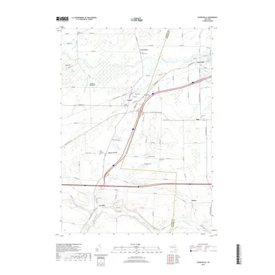
2019 Map of Churchville
USGS Topo · Published 2019About this map
Oatka Creek and Black Creek define the drainage of this Western New York landscape, which spans the border of Genesee and Monroe Counties. The village of Churchville sits at the northeastern corner, characterized by its grid of streets like W Buffalo St and proximity to Creekside Cem. Moving west, the topography rises toward Bergen and the small hamlet of Stone Church, where the Stone Church Rural Cem serves as a local landmark.
Find a feature on this map
101 named features on this map. Tap any name to fly to it.
Don’t see what you’re looking for? This feature index may not catch every label — zoom into the map to look around manually.
Map Details
Editions of this 2019 Churchville Map
This is the sole edition of this map. No revisions or reprints were ever made.
Other maps of this area

1897 · Albion
USGS Topo · 1:62,500

1899 · Brockport
USGS Topo · 1:62,500

1904 · Batavia
USGS Topo · 1:62,500

1904 · Caledonia
USGS Topo · 1:62,500

1932 · Spencerport
USGS Topo · 1:24,000

1934 · Spencerport
USGS Topo · 1:24,000

1934 · Brockport
USGS Topo · 1:24,000

1934 · Clifton
USGS Topo · 1:24,000

1935 · Churchville
USGS Topo · 1:24,000

1944 · Churchville
USGS Topo · 1:31,680