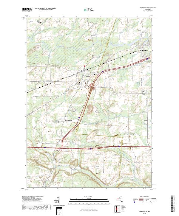
2023 Map of Churchville
USGS Topo · Published 2023About this map
Churchville and Bergen anchor this modern survey of the western Finger Lakes region, where the Genesee and Monroe County line bisects a landscape defined by glacial geology and historic hamlets. The northern reaches are characterized by the Byron-Bergen Swamp, while the southern terrain rises toward prominent elevations like Science Hill and Pinnacle Hill.
Find a feature on this map
109 named features on this map. Tap any name to fly to it.
Don’t see what you’re looking for? This feature index may not catch every label — zoom into the map to look around manually.
Map Details
Editions of this 2023 Churchville Map
This is the sole edition of this map. No revisions or reprints were ever made.
Other maps of this area

1897 · Albion
USGS Topo · 1:62,500

1899 · Brockport
USGS Topo · 1:62,500

1904 · Batavia
USGS Topo · 1:62,500

1904 · Caledonia
USGS Topo · 1:62,500

1932 · Spencerport
USGS Topo · 1:24,000

1934 · Spencerport
USGS Topo · 1:24,000

1934 · Brockport
USGS Topo · 1:24,000

1934 · Clifton
USGS Topo · 1:24,000

1935 · Churchville
USGS Topo · 1:24,000

1944 · Churchville
USGS Topo · 1:31,680