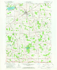
1965 Map of Churubusco
USGS Topo · Published 1967About this map
The town of Churubusco serves as a central hub on this mid-century Indiana landscape, where the Pennsylvania railroad line cuts diagonally through the northeast. This 1965 revision details the rural intersection of Smith Township and Lake Township, revealing a transition from agricultural fields to water-defined borders. Historically significant sites near the Eel River include the La Balme Monument and Eel River Fort Monument, marking early territorial conflicts and local frontier heritage.
Find a feature on this map
54 named features on this map. Tap any name to fly to it.
Don’t see what you’re looking for? This feature index may not catch every label — zoom into the map to look around manually.
Map Details
Editions of this 1965 Churubusco Map
2 editions found
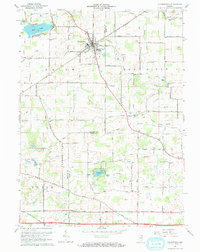
Other maps of this area

1951 · Merriam
USGS Topo · 1:24,000

1953 · Fort Wayne
USGS Topo · 1:250,000

1955 · Columbia City
USGS Topo · 1:24,000

1955 · Ege
USGS Topo · 1:24,000

1956 · Fort Wayne
USGS Topo · 1:250,000

1956 · Fort Wayne West
USGS Topo · 1:24,000

1957 · Huntertown
USGS Topo · 1:24,000

1957 · Garrett
USGS Topo · 1:24,000

1957 · Churubusco
USGS Topo · 1:24,000

1961 · Arcola
USGS Topo · 1:24,000