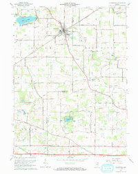
1965 Map of Churubusco
USGS Topo · Published 1967About this map
Churubusco serves as the primary hub of this 1960s landscape, positioned along the Pennsylvania railroad line at the junction of several county roads. The surrounding terrain in both Whitley and Allen counties is defined by its water systems, notably the Eel River, Blue River, and the recreational waters of Blue Lake and Lake Everett. Local history is deeply embedded in the rural township structure, with numerous country churches such as Pleasant Hill Ch and Wesley Chapel scattered across the farmland.
Find a feature on this map
44 named features on this map. Tap any name to fly to it.
Don’t see what you’re looking for? This feature index may not catch every label — zoom into the map to look around manually.
Map Details
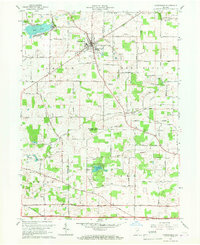
Editions of this 1965 Churubusco Map
2 editions found
Other maps of this area

1951 · Merriam
USGS Topo · 1:24,000

1953 · Fort Wayne
USGS Topo · 1:250,000

1955 · Columbia City
USGS Topo · 1:24,000

1955 · Ege
USGS Topo · 1:24,000

1956 · Fort Wayne
USGS Topo · 1:250,000

1956 · Fort Wayne West
USGS Topo · 1:24,000

1957 · Huntertown
USGS Topo · 1:24,000

1957 · Garrett
USGS Topo · 1:24,000

1957 · Churubusco
USGS Topo · 1:24,000

1961 · Arcola
USGS Topo · 1:24,000