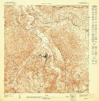
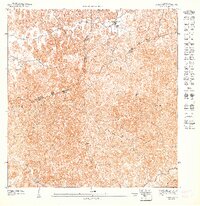
1947 Map of Ciales NO
USGS Topo · Published 1947About this map
The town of Ciales sits at the heart of this mid-century topographic study, positioned along the winding banks of the Rio Grande de Manati. The landscape is defined by the sharp transition from the river basin to the surrounding peaks, including Cerro de la Bandera and Cerro Pozon. This map documents a period of established agricultural and spiritual life in the central highlands, featuring the Iglesia Ascension and Iglesia San Antonio, alongside the Hacienda Maria.
Find a feature on this map
24 named features on this map. Tap any name to fly to it.
Don’t see what you’re looking for? This feature index may not catch every label — zoom into the map to look around manually.
Map Details
Editions of this 1947 Ciales NO Map
This is the sole edition of this map. No revisions or reprints were ever made.
Other maps of this area

1942 · Manati
USGS Topo · 1:30,000

1942 · Barceloneta
USGS Topo · 1:30,000

1946 · Barceloneta
USGS Topo · 1:30,000

1946 · Ciales
USGS Topo · 1:30,000

1946 · Florida
USGS Topo · 1:30,000

1946 · Manati
USGS Topo · 1:30,000
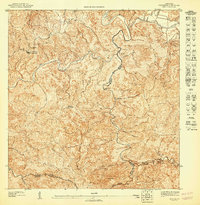
1947 · Ciales SO
USGS Topo · 1:10,000
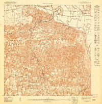
1947 · Barceloneta SE
USGS Topo · 1:10,000
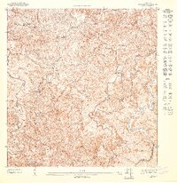
1947 · Florida SE
USGS Topo · 1:10,000
1947 · Florida NE
USGS Topo · 1:10,000