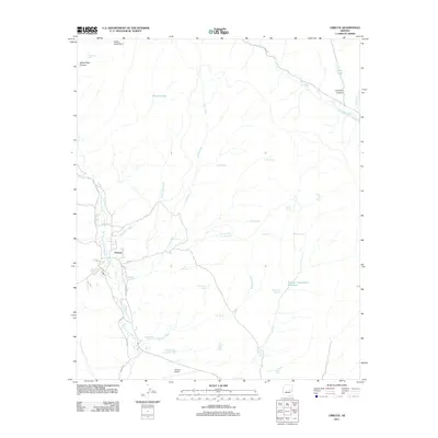
2011 Map of Cibecue
USGS Topo · Published 2011About this map
Cibecue serves as the central hub of this Arizona landscape, positioned where Day School Wash meets the winding Cibecue Creek. The settlement's infrastructure is connected by Indian Rte 3 and W Cibecue Rd, with the Cibecue Airport situated to the south near the junction of these transit corridors. This 2011 survey documents a high desert environment defined by seasonal water sources and drainage systems, including the notable Big Dry Lake in the north and numerous named tanks such as Ice Cream Cone Tank and Red Canyon Tank.
Find a feature on this map
37 named features on this map. Tap any name to fly to it.
Don’t see what you’re looking for? This feature index may not catch every label — zoom into the map to look around manually.
Map Details
Editions of this 2011 Cibecue Map
This is the sole edition of this map. No revisions or reprints were ever made.
Other maps of this area
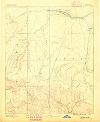
1886 · Holbrook
USGS Topo · 1:250,000
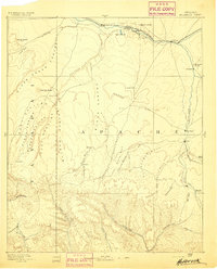
1893 · Holbrook
USGS Topo · 1:250,000
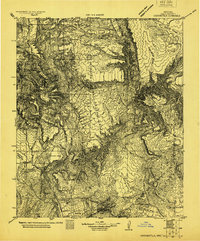
1922 · Chrysotile
USGS Topo · 1:125,000
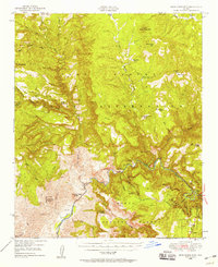
1946 · Blue House Mtn
USGS Topo · 1:62,500
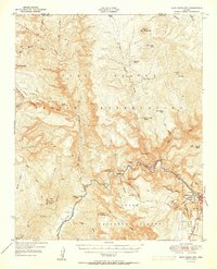
1951 · Blue House Mtn
USGS Topo · 1:62,500
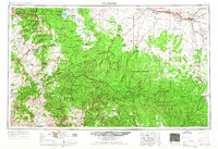
1954 · Holbrook
USGS Topo · 1:250,000
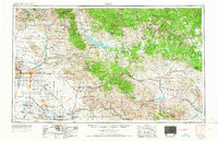
1954 · Mesa
USGS Topo · 1:250,000
1957 · Mesa
USGS Topo · 1:250,000
1957 · Holbrook
USGS Topo · 1:250,000
1958 · Mesa
USGS Topo · 1:250,000