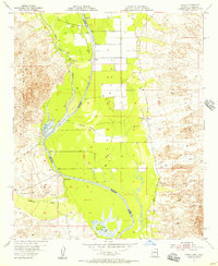
1955 Map of Cibola
USGS Topo · Published 1956About this map
The Colorado River carves a winding path through the desert landscape of the Palo Verde Valley and Cibola Valley in the mid-1950s. This survey, conducted during the administrations of Governors Ernest W. McFarland and Goodwin J. Knight, documents a transitional era of water management and agriculture along the Arizona-California border. The presence of an extensive Irrigation Ditch network and numerous Pump stations illustrates the mid-century effort to reclaim the arid flats for farming. Near the settlement of Cibola, the map records essential local landmarks including the Airport, a Water Tank, and nearby Ruins. The desert geography is defined by seasonal drainages like Hart Mine Wash and Milpitas Wash, which flow toward the river from the surrounding Palo Verde Mountains and Trigo Mts. Features like the Hart Mine and MK Ranch provide specific points of interest for those tracing the history of industry and ranching in the Yuma County region.
Find a feature on this map
23 named features on this map. Tap any name to fly to it.
Don’t see what you’re looking for? This feature index may not catch every label — zoom into the map to look around manually.
Map Details
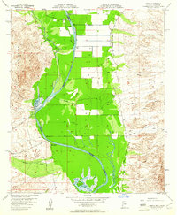
Editions of this 1955 Cibola Map
2 editions found
Other maps of this area

1942 · Blythe
USGS Topo · 1:250,000

1945 · Cibola
USGS Topo · 1:62,500

1945 · Picacho
USGS Topo · 1:62,500

1951 · Picacho
USGS Topo · 1:62,500

1951 · Cibola
USGS Topo · 1:62,500

1952 · Mule Wash
USGS Topo · 1:24,000

1952 · Palo Verde
USGS Topo · 1:24,000

1953 · Palo Verde Mountains
USGS Topo · 1:62,500

1953 · Quartz Peak
USGS Topo · 1:62,500

1954 · Salton Sea
USGS Topo · 1:250,000