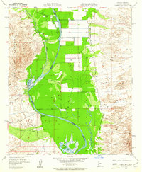
1955 Map of Cibola
USGS Topo · Published 1961About this map
The Colorado River defines this 1950s borderland, carving a wide path through the Cibola Valley and Palo Verde Valley. In this era before extensive river channelization, the landscape is a network of backwaters and seasonal drainage including Lagoon, Davis Lake, and the marshy expanses of Three Finger Lake. The settlement of Cibola serves as a small hub along the Cibola Road, supported by a local Airport and a complex system of an Irrigation Ditch and pumps that allow agriculture to thrive in the desert heat. Flanked by the Palo Verde Mountains to the west and the Trigo Mts to the east, the map captures a specific moment of agricultural expansion and rural settlement at the MK Ranch and along the dry reaches of Milpitas Wash and Hart Mine Wash.
Find a feature on this map
20 named features on this map. Tap any name to fly to it.
Don’t see what you’re looking for? This feature index may not catch every label — zoom into the map to look around manually.
Map Details
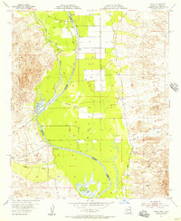
Editions of this 1955 Cibola Map
2 editions found
Other maps of this area

1942 · Blythe
USGS Topo · 1:250,000

1945 · Cibola
USGS Topo · 1:62,500

1945 · Picacho
USGS Topo · 1:62,500

1951 · Picacho
USGS Topo · 1:62,500

1951 · Cibola
USGS Topo · 1:62,500

1952 · Mule Wash
USGS Topo · 1:24,000

1952 · Palo Verde
USGS Topo · 1:24,000

1953 · Palo Verde Mountains
USGS Topo · 1:62,500

1953 · Quartz Peak
USGS Topo · 1:62,500

1954 · Salton Sea
USGS Topo · 1:250,000