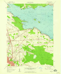
1957 Map of Cicero
USGS Topo · Published 1959About this map
Oneida Lake dominates the northern half of this landscape, its waters reaching toward the developing suburbs and marshy lowlands of Onondaga County during the late 1950s. The village of Cicero and the growing residential blocks of North Syracuse reflect the mid-century expansion of the region, anchored by landmarks like the Town Hall and the Drive-in Theater. To the south, the vast Cicero Swamp remains largely undeveloped, preserved in part by the Cicero State Game Management Area, illustrating a stark contrast between the encroaching suburban grid and the original wetlands of the basin.
Find a feature on this map
76 named features on this map. Tap any name to fly to it.
Don’t see what you’re looking for? This feature index may not catch every label — zoom into the map to look around manually.
Map Details
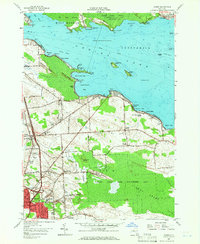
Editions of this 1957 Cicero Map
2 editions found
Other maps of this area

1895 · Chittenango
USGS Topo · 1:62,500

1895 · Syracuse
USGS Topo · 1:62,500

1898 · Syracuse
USGS Topo · 1:62,500

1898 · Chittenango
USGS Topo · 1:62,500

1902 · Chittenango
USGS Topo · 1:62,500

1905 · Mexico
USGS Topo · 1:62,500

1906 · Kasoag
USGS Topo · 1:62,500

1938 · Syracuse East
USGS Topo · 1:24,000

1939 · Syracuse West
USGS Topo · 1:24,000

1940 · Brewerton
USGS Topo · 1:24,000