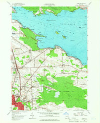
1957 Map of Cicero
USGS Topo · Published 1966About this map
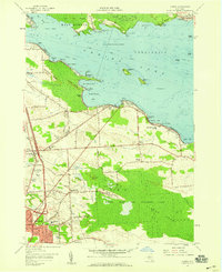
Oneida Lake dominates the northern reaches of this mid-century survey, its southern shoreline defined by a series of points and bays including Lower South Bay and Muskrat Bay. The landscape transitions from the developed summer frontage of Forest Beach and Valentines Beach to the expansive wetlands of the Cicero State Game Management Area and the Cicero Swamp. This interior wetland, which includes the curious Hall Island, represents a significant natural barrier that shaped local transit, pushing primary roads like Bartel Road and Cicero Center Road to follow higher ground.
Find a feature on this map
85 named features on this map. Tap any name to fly to it.
Don’t see what you’re looking for? This feature index may not catch every label — zoom into the map to look around manually.
Map Details
Editions of this 1957 Cicero Map
2 editions found
Other maps of this area

1895 · Chittenango
USGS Topo · 1:62,500

1895 · Syracuse
USGS Topo · 1:62,500

1898 · Syracuse
USGS Topo · 1:62,500

1898 · Chittenango
USGS Topo · 1:62,500

1902 · Chittenango
USGS Topo · 1:62,500

1905 · Mexico
USGS Topo · 1:62,500

1906 · Kasoag
USGS Topo · 1:62,500

1938 · Syracuse East
USGS Topo · 1:24,000

1939 · Syracuse West
USGS Topo · 1:24,000

1940 · Brewerton
USGS Topo · 1:24,000