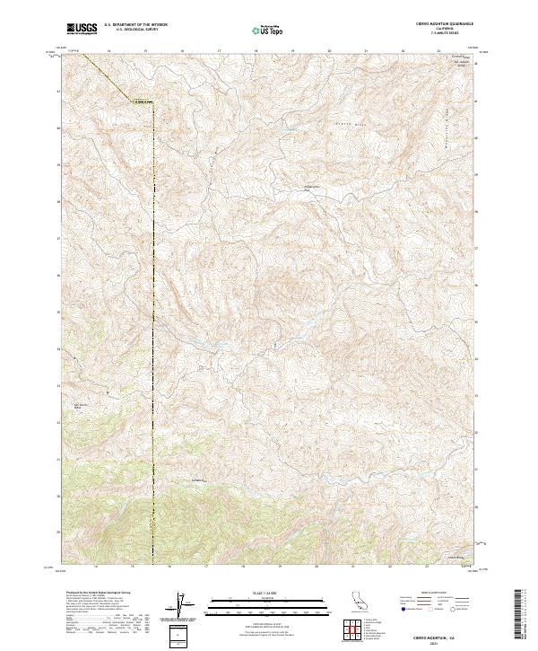
2021 Map of Ciervo Mountain
USGS Topo · Published 2021About this map
Ciervo Mtn and the Ciervo Hills dominate this rugged portion of the Diablo Range along the boundary between Fresno and San Benito counties. The landscape is defined by deep drainages such as Arroyo Hondo and Cantua Cr, which flow toward the San Joaquin Valley and the Central Valley to the northeast. This 2021 survey illustrates a region where water is a critical and scarce resource, evidenced by the scattered locations of Ciervo Spring, Borreguero Spring, and Harris Spring. The prominent Monocline Ridge runs along the eastern edge of the quadrangle, marking a stark geological transition above Peppergrass Flat. This terrain, including the high basin of San Carlos Bolsa, remains largely undeveloped, preserving the original land survey divisions such as t17s r13e and t18s r12e.
Find a feature on this map
27 named features on this map. Tap any name to fly to it.
Don’t see what you’re looking for? This feature index may not catch every label — zoom into the map to look around manually.
Map Details
Editions of this 2021 Ciervo Mountain Map
This is the sole edition of this map. No revisions or reprints were ever made.
Other maps of this area

1912 · Coalinga
USGS Topo · 1:125,000

1913 · Panoche
USGS Topo · 1:125,000

1915 · Priest Valley
USGS Topo · 1:125,000

1923 · Levis
USGS Topo · 1:31,680

1923 · Monocline Ridge
USGS Topo · 1:31,680

1943 · New Idria
USGS Topo · 1:62,500

1943 · Joaquin Rocks
USGS Topo · 1:62,500

1946 · Tranquillity
USGS Topo · 1:62,500
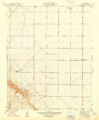
1947 · Levis
USGS Topo · 1:24,000

1948 · Santa Cruz
USGS Topo · 1:250,000