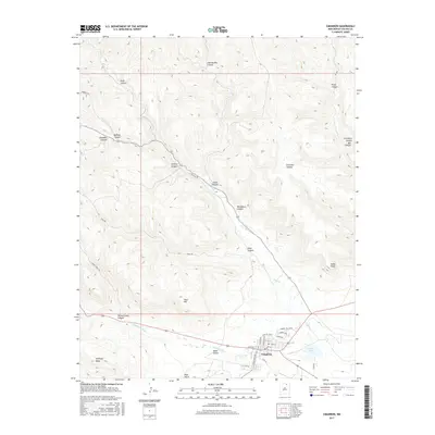
2017 Map of Cimarron
USGS Topo · Published 2017About this map
Cimarron sits at the convergence of mountain canyons and high plains, serving as a gateway to the rugged New Mexico backcountry. The town layout is clearly defined by historical thoroughfares like Maxwell Blvd and Lambert Hills Blvd, while the surrounding terrain is dominated by a complex network of drainages including the Cimarron River and Ponil Cr. The map captures the transition from the structured residential grid of the village to the expansive cattle and ranching lands that have defined Colfax County for generations.
Find a feature on this map
42 named features on this map. Tap any name to fly to it.
Don’t see what you’re looking for? This feature index may not catch every label — zoom into the map to look around manually.
Map Details
Editions of this 2017 Cimarron Map
This is the sole edition of this map. No revisions or reprints were ever made.
Other maps of this area

1954 · Raton
USGS Topo · 1:250,000

1955 · Cimarron
USGS Topo · 1:62,500

1955 · Ute Park
USGS Topo · 1:62,500

1956 · Tooth Of Time
USGS Topo · 1:62,500

1956 · Miami
USGS Topo · 1:62,500

1958 · Raton
USGS Topo · 1:250,000

1981 · Springer
USGS Topo · 1:100,000

1981 · Raton
USGS Topo · 1:100,000

1982 · Wheeler Peak
USGS Topo · 1:100,000

1983 · Taos
USGS Topo · 1:100,000