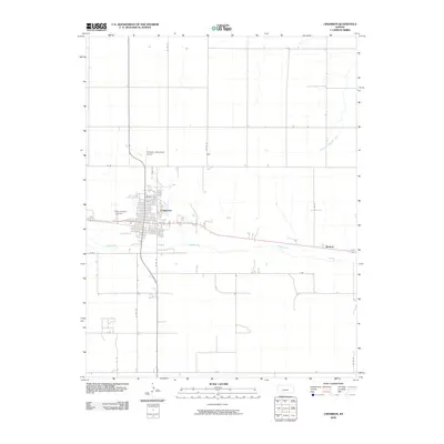
2009 Map of Cimarron
USGS Topo · Published 2009About this map
Cimarron serves as the primary hub of activity in this Gray County landscape, where the town grid is established north of the Arkansas River. The settlement pattern follows a traditional rail-and-river corridor, with streets like Prospect Ave and Ave A defining the urban core. To the west of the main residential blocks, the Gray County Free Fair grounds mark a community landmark, while the Cimarron Municipal Airport sits just north of town. The surrounding terrain is characterized by a precise rectilinear road network, including Co Rd 19 and Co Rd 20, which service the agricultural plots spanning the county. In the northeast, the headwaters of South Fork Buckner Creek drain away from the river valley, and to the east, the small siding or locality of Wettick appears along the highway and river bend.
Find a feature on this map
25 named features on this map. Tap any name to fly to it.
Don’t see what you’re looking for? This feature index may not catch every label — zoom into the map to look around manually.
Map Details
Editions of this 2009 Cimarron Map
This is the sole edition of this map. No revisions or reprints were ever made.
Other maps of this area

1892 · Dodge
USGS Topo · 1:125,000

1955 · Dodge City
USGS Topo · 1:250,000

1958 · Dodge City
USGS Topo · 1:250,000

1959 · Dodge City
USGS Topo · 1:250,000

1968 · Cimarron NW
USGS Topo · 1:24,000

1968 · Ingalls
USGS Topo · 1:24,000

1968 · Dodge City NW
USGS Topo · 1:24,000

1968 · Montezuma NW
USGS Topo · 1:24,000

1968 · Cimarron
USGS Topo · 1:24,000

1968 · Cimarron NE
USGS Topo · 1:24,000