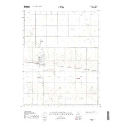
2018 Map of Cimarron
USGS Topo · Published 2018About this map
The Arkansas River divides the landscape of Gray County, Kansas, where the community of Cimarron serves as a central hub for the surrounding agricultural plains. The town is structured on a grid south of the Cimarron Municipal Airport, with core thoroughfares like North Main Street and South Main Street anchoring the local geography. To the east lies the smaller settlement of Wettick, situated along the northern bank of the river corridor. The map reveals the intricate network of county roads, including County Road 19 and County Road 22, which connect isolated farmsteads across the high plains. North of the river, the terrain is cut by the headwaters of South Fork Buckner Creek, while the southern reaches of the quadrangle transition into a landscape of depressions and sand hills typical of the region's riparian borders. Local history is anchored at the Cimarron Cemetery, located just northeast of the primary townsite.
Find a feature on this map
41 named features on this map. Tap any name to fly to it.
Don’t see what you’re looking for? This feature index may not catch every label — zoom into the map to look around manually.
Map Details
Editions of this 2018 Cimarron Map
This is the sole edition of this map. No revisions or reprints were ever made.
Other maps of this area

1892 · Dodge
USGS Topo · 1:125,000

1955 · Dodge City
USGS Topo · 1:250,000

1958 · Dodge City
USGS Topo · 1:250,000

1959 · Dodge City
USGS Topo · 1:250,000

1968 · Cimarron NW
USGS Topo · 1:24,000

1968 · Ingalls
USGS Topo · 1:24,000

1968 · Dodge City NW
USGS Topo · 1:24,000

1968 · Montezuma NW
USGS Topo · 1:24,000

1968 · Cimarron
USGS Topo · 1:24,000

1968 · Cimarron NE
USGS Topo · 1:24,000