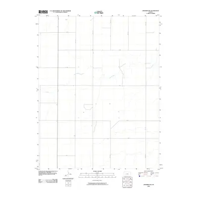
2009 Map of Cimarron NE
USGS Topo · Published 2009About this map
Buckner Creek and its seasonal tributaries carve a winding path through this corner of Gray County, defining the drainage patterns of the High Plains. This 2009 survey by the U.S. Geological Survey illustrates the rigid section-line road system characteristic of western Kansas agriculture, where routes like B Rd and Co Rd 23 form a precise grid across the landscape. The lack of concentrated settlements highlights the region's focus on large-scale farming and ranching. Small structures and stock ponds are scattered along the watercourses, particularly near Sand Creek, showing how modern land use still follows the subtle elevations and natural draws of the prairie terrain.
Find a feature on this map
15 named features on this map. Tap any name to fly to it.
Don’t see what you’re looking for? This feature index may not catch every label — zoom into the map to look around manually.
Map Details
Editions of this 2009 Cimarron NE Map
This is the sole edition of this map. No revisions or reprints were ever made.
Other maps of this area

1892 · Dodge
USGS Topo · 1:125,000

1955 · Dodge City
USGS Topo · 1:250,000

1955 · Scott City
USGS Topo · 1:250,000

1958 · Dodge City
USGS Topo · 1:250,000

1958 · Scott City
USGS Topo · 1:250,000

1959 · Dodge City
USGS Topo · 1:250,000

1968 · Cimarron NW
USGS Topo · 1:24,000

1968 · Ingalls
USGS Topo · 1:24,000

1968 · Dodge City NW
USGS Topo · 1:24,000

1968 · Cimarron
USGS Topo · 1:24,000