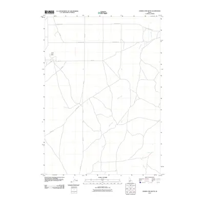
2010 Map of Cinder Cone Butte
USGS Topo · Published 2010About this map
Cinder Cone Butte stands as the primary landmark in this section of the Idaho landscape, surrounded by a network of rural routes and drainage patterns. The area is defined by the winding course of Squaw Creek, which meanders across the central and southern portions of the quadrangle, eventually joined by Canyon Creek in the southeast. This 2010 survey illustrates the organized grid of desert roads, including the long north-south stretch of Simco Rd and the east-west alignment of Range Rd. The sparse infrastructure, consisting primarily of named tracks like Moddy Rd and Lewis Rd, suggests a landscape primarily used for grazing or access to the volcanic features of the Snake River Plain. The layout of N Cinder Butte Rd and S Cinder Butte Rd provides a clear view of how local travel is structured around the prominent butte.
Find a feature on this map
9 named features on this map. Tap any name to fly to it.
Don’t see what you’re looking for? This feature index may not catch every label — zoom into the map to look around manually.
Map Details
Editions of this 2010 Cinder Cone Butte Map
This is the sole edition of this map. No revisions or reprints were ever made.
Other maps of this area

1892 · Mountain Home
USGS Topo · 1:125,000

1892 · Bisuka
USGS Topo · 1:125,000

1893 · Mountain Home
USGS Topo · 1:125,000

1894 · Bisuka
USGS Topo · 1:125,000

1947 · Dorsey Butte
USGS Topo · 1:24,000

1948 · Dorsey Butte
USGS Topo · 1:24,000

1948 · Big Foot Butte
USGS Topo · 1:62,500

1948 · Little Joe Butte
USGS Topo · 1:24,000

1949 · Little Joe Butte
USGS Topo · 1:24,000

1955 · Orchard
USGS Topo · 1:24,000