
1955 Map of Orchard
USGS Topo · Published 1957About this map
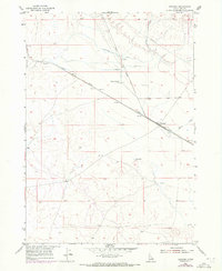
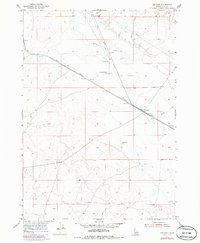
The Union Pacific railroad cuts a diagonal path across this high desert landscape south of Boise, anchoring the small settlements of Orchard Ranch and Orchard. In the mid-1950s, this area of Ada County relied heavily on a network of water management features to support its rural outposts, including an Irrigation Ditch, several Wells, and a Reservoir. The Boise Base Line serves as a critical surveying boundary at the northern edge of the map, while a lone Cemetery provides a quiet link to the early families of the high plains.
Find a feature on this map
13 named features on this map. Tap any name to fly to it.
Don’t see what you’re looking for? This feature index may not catch every label — zoom into the map to look around manually.
Map Details
Editions of this 1955 Orchard Map
3 editions found
Other maps of this area

1892 · Mountain Home
USGS Topo · 1:125,000

1892 · Bisuka
USGS Topo · 1:125,000

1893 · Mountain Home
USGS Topo · 1:125,000

1894 · Bisuka
USGS Topo · 1:125,000

1948 · Big Foot Butte
USGS Topo · 1:24,000

1948 · Big Foot Butte
USGS Topo · 1:62,500

1948 · Little Joe Butte
USGS Topo · 1:24,000

1949 · Little Joe Butte
USGS Topo · 1:24,000

1955 · Christmas Mtn
USGS Topo · 1:24,000

1955 · Hailey
USGS Topo · 1:250,000