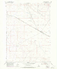
1955 Map of Orchard
USGS Topo · Published 1972About this map
Union Pacific rail lines slice diagonally across this Ada County landscape, anchoring the small settlements of Orchard and Orchard Ranch. The 1955 survey, updated with 1971 aerial data, reveals a high desert environment transitioning into an engineered agricultural zone. This shift is marked by the presence of an Irrigation Ditch and a series of wells that support life away from the primary watercourses. The local geography is strictly organized by the Boise Base Line, which serves as the primary latitudinal reference for the regional survey system.
Find a feature on this map
9 named features on this map. Tap any name to fly to it.
Don’t see what you’re looking for? This feature index may not catch every label — zoom into the map to look around manually.
Map Details
Editions of this 1955 Orchard Map
3 editions found
Other maps of this area

1892 · Mountain Home
USGS Topo · 1:125,000

1892 · Bisuka
USGS Topo · 1:125,000

1893 · Mountain Home
USGS Topo · 1:125,000

1894 · Bisuka
USGS Topo · 1:125,000

1948 · Big Foot Butte
USGS Topo · 1:24,000

1948 · Big Foot Butte
USGS Topo · 1:62,500

1948 · Little Joe Butte
USGS Topo · 1:24,000

1949 · Little Joe Butte
USGS Topo · 1:24,000

1955 · Christmas Mtn
USGS Topo · 1:24,000

1955 · Orchard
USGS Topo · 1:24,000