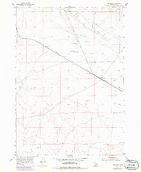
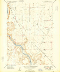
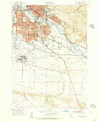
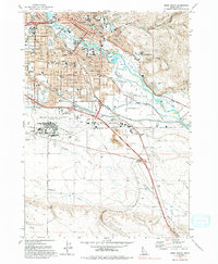
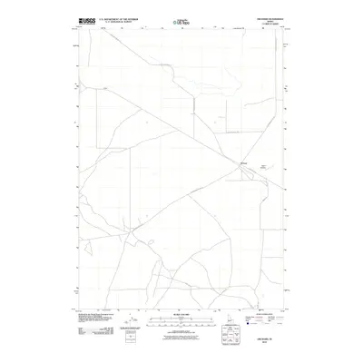
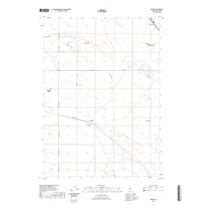
1955 Map of Orchard
USGS Topo · Published 1986About this map
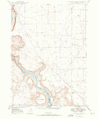
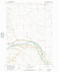
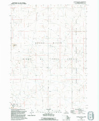
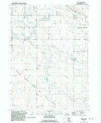
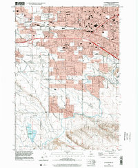
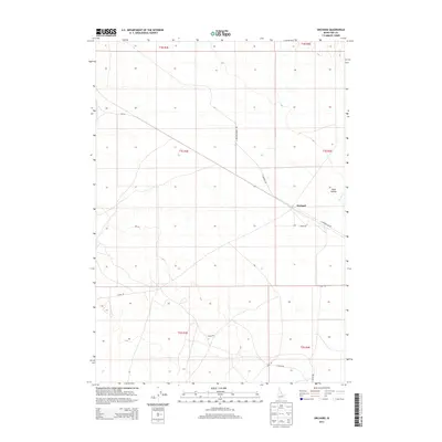
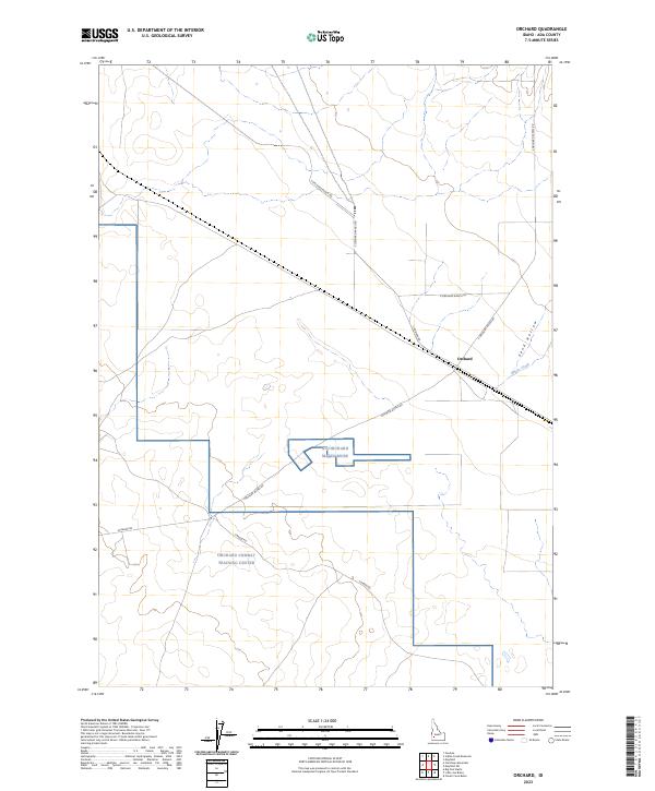
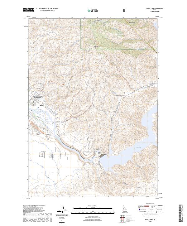
Orchard serves as a focal point in this high-desert landscape of Ada County, where the iron rails of the Union Pacific define the movement of goods and people. In the mid-1950s, this area was characterized by the intersection of industrial transport and essential water management, visible through a network of an Irrigation Ditch, a Pipeline, and scattered Wells. The survey captures a moment of transition where an Abandoned rail line branches off, marking a shift in the local infrastructure. North of the main settlement, Orchard Ranch sits along the northern edge of the rail corridor, while a lone Cemetery to the south provides a quiet genealogical link for the region. The landscape is mathematically bisected by the Boise Base Line, an essential survey datum that governed land claims and property boundaries across this portion of Idaho. This topography reflects a reliance on groundwater and engineered irrigation to sustain life along the high plains.
Find a feature on this map
12 named features on this map. Tap any name to fly to it.
Don’t see what you’re looking for? This feature index may not catch every label — zoom into the map to look around manually.
Map Details
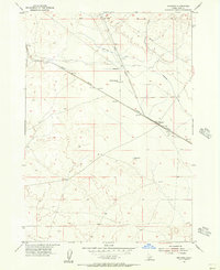
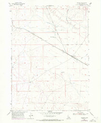
Editions of this 1955 Orchard Map
3 editions found
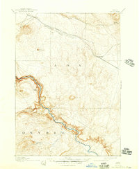
Historical Maps of Ada County Through Time
103 maps found

1892 Bisuka
Ada County, ID
1894 Bisuka
Ada County, ID
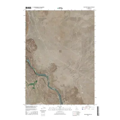
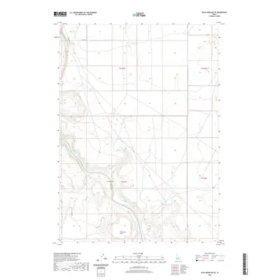
1947 Wild Horse Butte
Ada County, ID
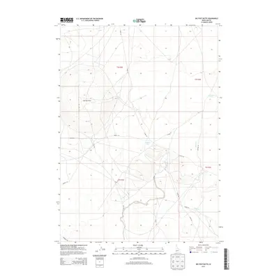
1948 Big Foot Butte
Ada County, ID
1948 Big Foot Butte
Ada County, ID
1948 Little Joe Butte
Ada County, ID
1948 Wild Horse Butte
Ada County, ID
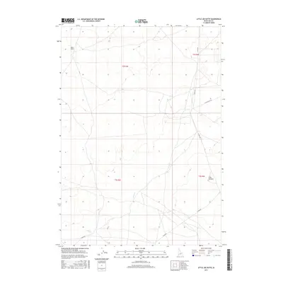
1949 Little Joe Butte
Ada County, ID
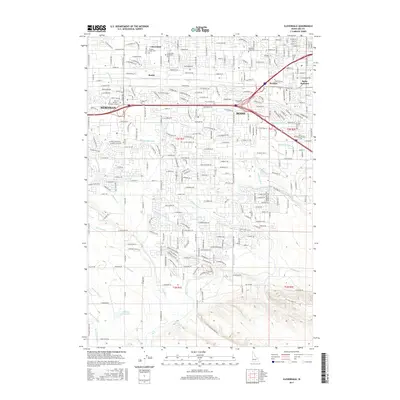
1953 Cloverdale
Ada County, ID
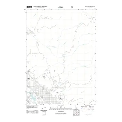
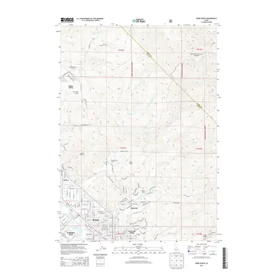
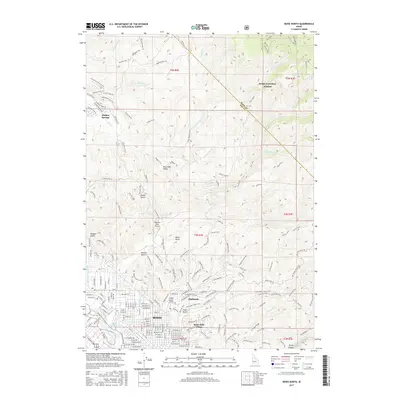
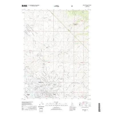
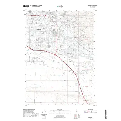
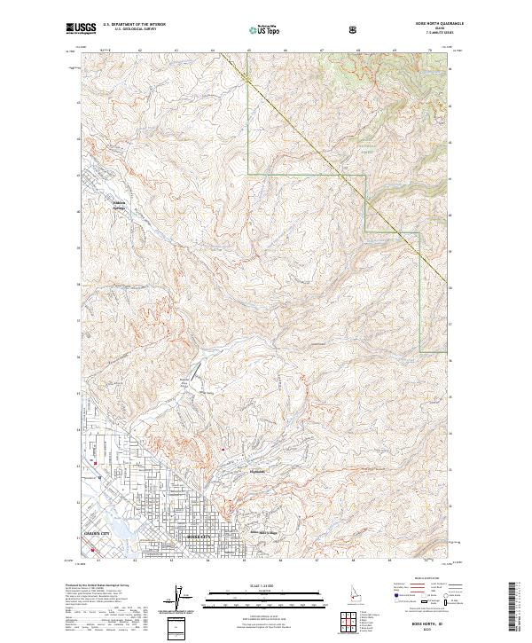
1954 Boise North
Ada County, ID
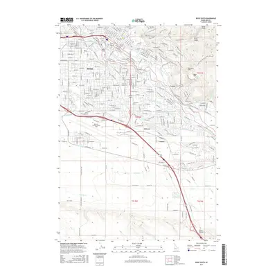
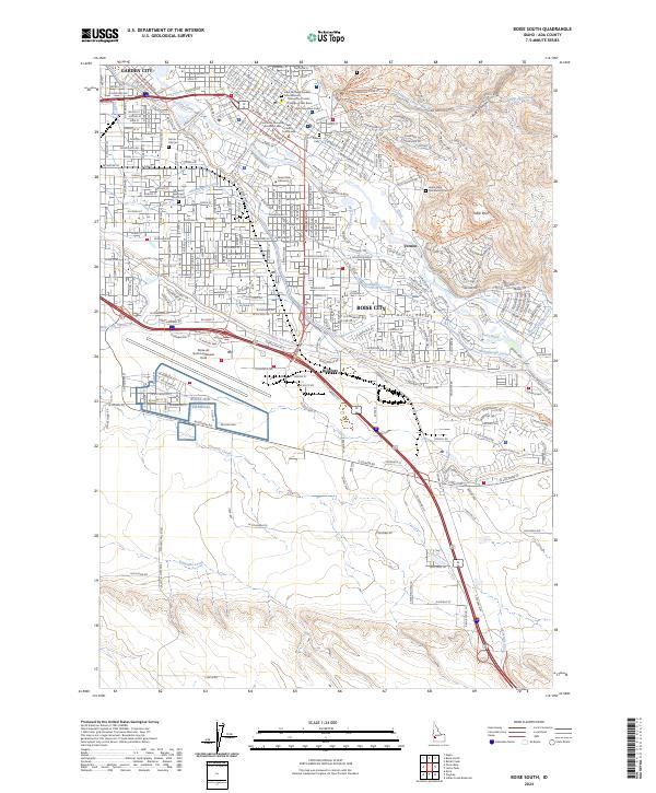
1954 Boise South
Ada County, ID
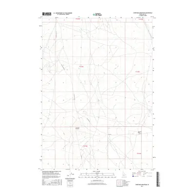
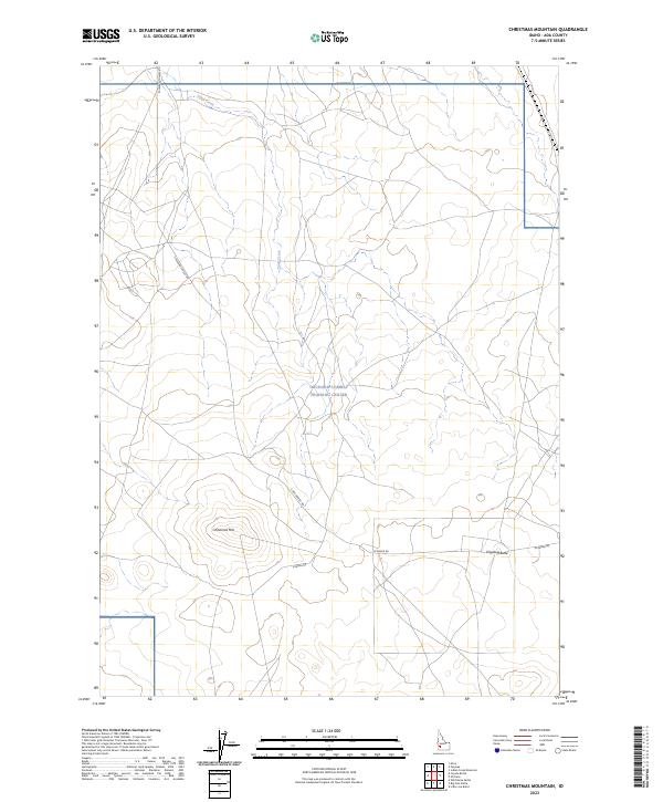
1955 Christmas Mtn
Ada County, ID
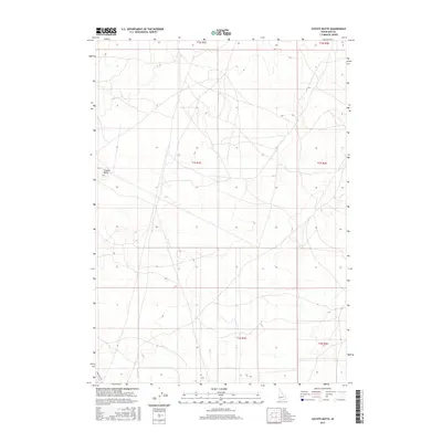
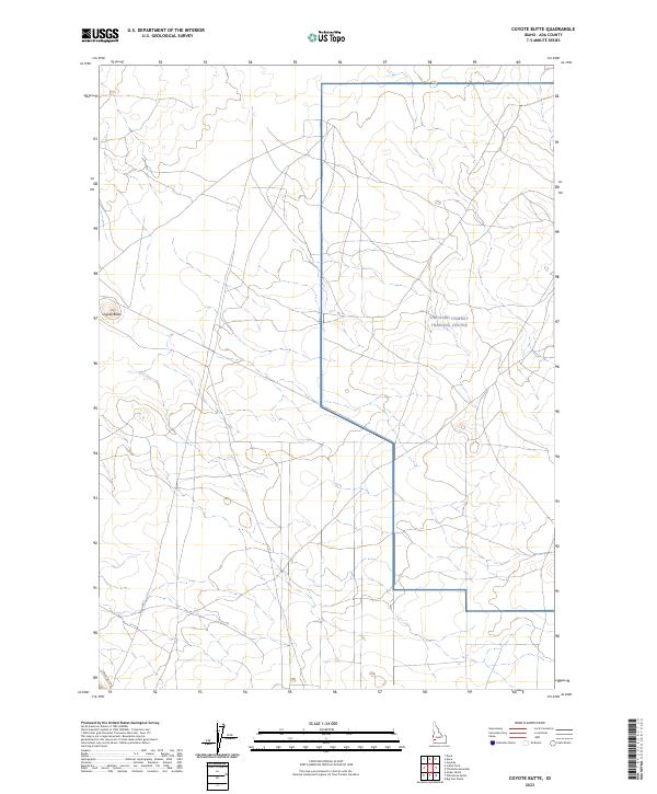
1955 Coyote Butte
Ada County, ID
1955 Orchard
Ada County, ID
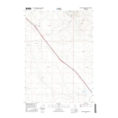
1957 Indian Creek Reservoir
Ada County, ID
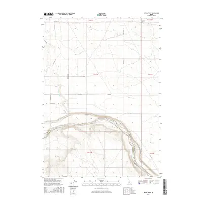
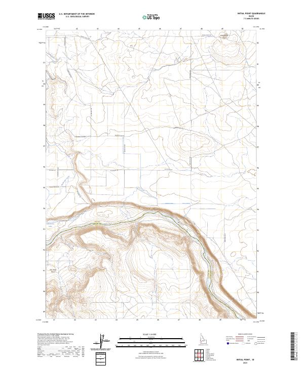
1957 Initial Point
Ada County, ID
1957 Owyhee
Ada County, ID
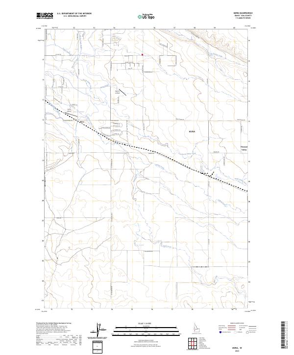
1958 Mora
Ada County, ID
1972 Boise North
Ada County, ID
1972 Boise South
Ada County, ID
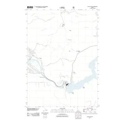
1972 Lucky Peak
Ada County, ID
1992 Big Foot Butte
Ada County, ID
1992 Christmas Mountain
Ada County, ID
1992 Coyote Butte
Ada County, ID
1992 Indian Creek Reservoir
Ada County, ID
1992 Initial Point
Ada County, ID
1992 Little Joe Butte
Ada County, ID
1992 Mora
Ada County, ID
1992 Orchard
Ada County, ID
1992 Owyhee
Ada County, ID
1992 Wild Horse Butte
Ada County, ID
1998 Cloverdale
Ada County, ID
2010 Boise South
Ada County, ID
2010 Christmas Mountain
Ada County, ID
2010 Cloverdale
Ada County, ID
2010 Coyote Butte
Ada County, ID
2010 Indian Creek Reservoir
Ada County, ID
2010 Initial Point
Ada County, ID
2010 Little Joe Butte
Ada County, ID

2010 Mora
Ada County, ID
2010 Orchard
Ada County, ID
2010 Owyhee
Ada County, ID
2010 Wild Horse Butte
Ada County, ID
2011 Big Foot Butte
Ada County, ID
2011 Boise North
Ada County, ID
2011 Lucky Peak
Ada County, ID
2013 Big Foot Butte
Ada County, ID
2013 Boise North
Ada County, ID
2013 Boise South
Ada County, ID
2013 Christmas Mountain
Ada County, ID
2013 Cloverdale
Ada County, ID
2013 Coyote Butte
Ada County, ID
2013 Indian Creek Reservoir
Ada County, ID
2013 Initial Point
Ada County, ID
2013 Little Joe Butte
Ada County, ID
2013 Lucky Peak
Ada County, ID

2013 Mora
Ada County, ID
2013 Orchard
Ada County, ID
2013 Owyhee
Ada County, ID
2013 Wild Horse Butte
Ada County, ID
2017 Big Foot Butte
Ada County, ID
2017 Boise North
Ada County, ID
2017 Boise South
Ada County, ID
2017 Christmas Mountain
Ada County, ID
2017 Cloverdale
Ada County, ID
2017 Coyote Butte
Ada County, ID
2017 Indian Creek Reservoir
Ada County, ID
2017 Initial Point
Ada County, ID
2017 Little Joe Butte
Ada County, ID
2017 Lucky Peak
Ada County, ID
2017 Mora
Ada County, ID
2017 Orchard
Ada County, ID
2017 Owyhee
Ada County, ID
2017 Wild Horse Butte
Ada County, ID
2020 Big Foot Butte
Ada County, ID
2020 Boise North
Ada County, ID
2020 Boise South
Ada County, ID
2020 Christmas Mountain
Ada County, ID
2020 Cloverdale
Ada County, ID
2020 Coyote Butte
Ada County, ID
2020 Indian Creek Reservoir
Ada County, ID
2020 Initial Point
Ada County, ID
2020 Little Joe Butte
Ada County, ID
2020 Lucky Peak
Ada County, ID

2020 Mora
Ada County, ID
2020 Orchard
Ada County, ID
2020 Owyhee
Ada County, ID
2020 Wild Horse Butte
Ada County, ID
2023 Boise North
Ada County, ID
2023 Christmas Mountain
Ada County, ID
2023 Coyote Butte
Ada County, ID
2023 Initial Point
Ada County, ID
2023 Lucky Peak
Ada County, ID
2023 Mora
Ada County, ID
2023 Orchard
Ada County, ID
2023 Owyhee
Ada County, ID
2023 Wild Horse Butte
Ada County, ID
2024 Big Foot Butte
Ada County, ID
2024 Boise South
Ada County, ID
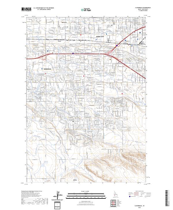
2024 Cloverdale
Ada County, ID
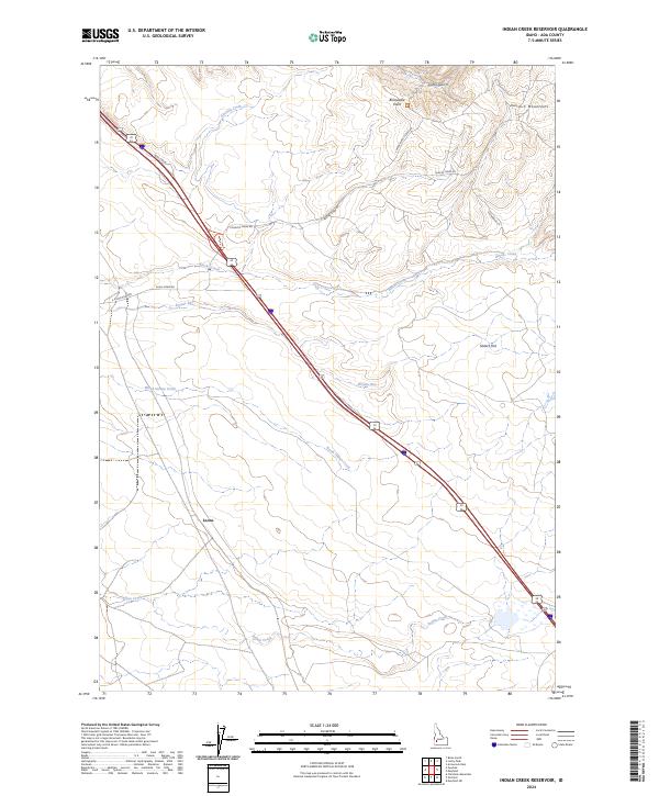
2024 Indian Creek Reservoir
Ada County, ID
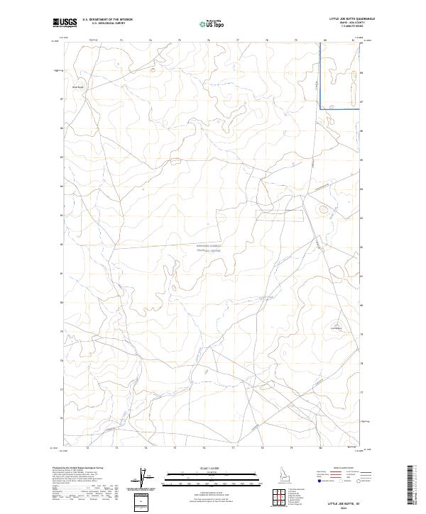
2024 Little Joe Butte
Ada County, ID
2024 Lucky Peak
Ada County, ID