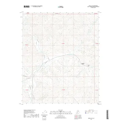
2018 Map of Circle A-5 SE
USGS Topo · Published 2018About this map
Chena Hot Springs serves as the primary focal point in this high-latitude landscape, situated near the confluence of several watercourses. The drainage system is defined by the N Fork Chena River, W Fork Chena River, and the North Fork Chena River, which cut through the interior terrain. Transportation in this era is characterized by seasonal and specialized routes, including the Chena Hot Springs Winter trail and Angel Creek Winter track, alongside developed paths like West Fork Road and Right Bank Road. The presence of the Chena Hot Springs Airport and Recreation Drive indicates the area's role as a destination for travel and outdoor activity. Local landmarks such as Monument Cr and Angel Cr provide further geographic context for researchers studying the Fairbanks North Star region's modern layout.
Find a feature on this map
26 named features on this map. Tap any name to fly to it.
Don’t see what you’re looking for? This feature index may not catch every label — zoom into the map to look around manually.
Map Details
Editions of this 2018 Circle A-5 SE Map
This is the sole edition of this map. No revisions or reprints were ever made.
Other maps of this area

1950 · Big Delta
USGS Topo · 1:250,000

1951 · Big Delta
USGS Topo · 1:250,000

1951 · Circle
USGS Topo · 1:250,000

1951 · Circle A-5
USGS Topo · 1:63,360

1952 · Circle A-4
USGS Topo · 1:63,360

1952 · Circle A-5
USGS Topo · 1:63,360

1954 · Circle A-5
USGS Topo · 1:63,360

1955 · Circle
USGS Topo · 1:250,000

1958 · Big Delta D-5
USGS Topo · 1:63,360

1958 · Big Delta D-4
USGS Topo · 1:63,360