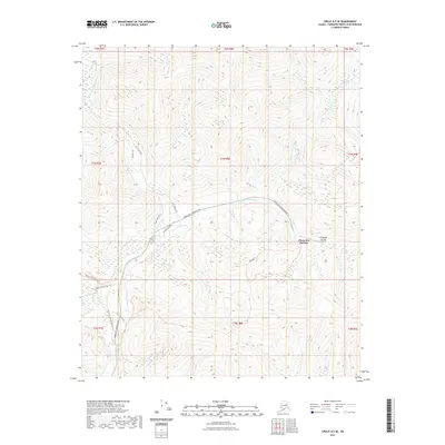
2021 Map of Circle A-5 SE
USGS Topo · Published 2021About this map
Chena Hot Springs serves as the focal point for this interior Alaskan landscape, where the confluence of the North Fork Chena River and West Fork Chena River forms the main Chena River. The area is defined by its seasonal access and transit routes, including the primary Chena Hot Springs Road and a network of specialized paths like the Chena Hot Springs Winter Trl and Angel Creek Winter Trl. These winter trails suggest a landscape that remains active through the subarctic freeze, supporting both recreational and essential travel.
Find a feature on this map
27 named features on this map. Tap any name to fly to it.
Don’t see what you’re looking for? This feature index may not catch every label — zoom into the map to look around manually.
Map Details
Editions of this 2021 Circle A-5 SE Map
This is the sole edition of this map. No revisions or reprints were ever made.
Other maps of this area

1950 · Big Delta
USGS Topo · 1:250,000

1951 · Big Delta
USGS Topo · 1:250,000

1951 · Circle
USGS Topo · 1:250,000

1951 · Circle A-5
USGS Topo · 1:63,360

1952 · Circle A-4
USGS Topo · 1:63,360

1952 · Circle A-5
USGS Topo · 1:63,360

1954 · Circle A-5
USGS Topo · 1:63,360

1955 · Circle
USGS Topo · 1:250,000

1958 · Big Delta D-5
USGS Topo · 1:63,360

1958 · Big Delta D-4
USGS Topo · 1:63,360