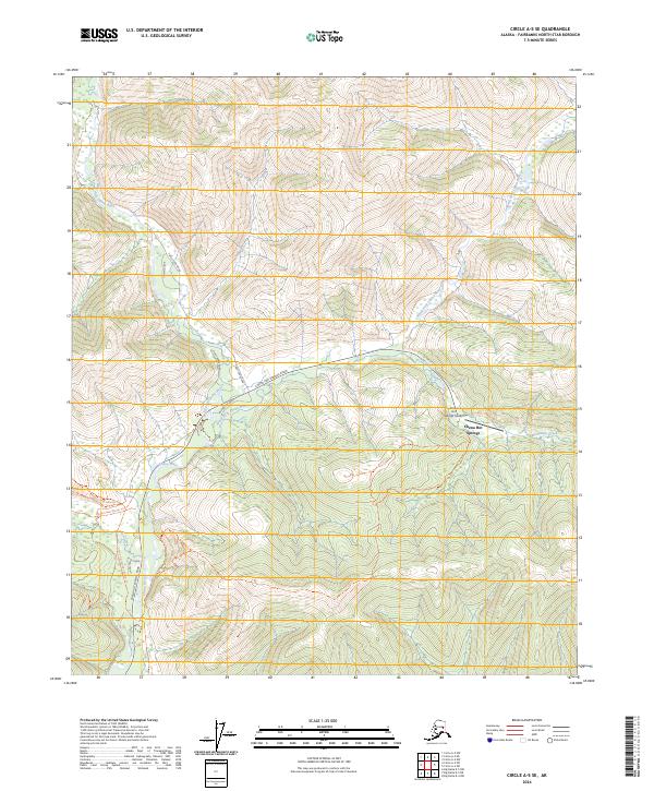
2024 Map of Circle A-5 SE
USGS Topo · Published 2024About this map
Chena Hot Springs serves as the focal point for this interior Alaskan landscape, situated where Monument Creek meets the upper reaches of the river system. The geography is defined by the confluence of the North Fork Chena River and West Fork Chena River, which join to form the main Chena River channel. This map captures the remote infrastructure of the Fairbanks North Star Borough, including the Chena Hot Springs Airport and a network of specialized routes like the Chena Hot Springs Winter Trl and Angel Creek Winter Trl. These winter-specific paths, alongside the high-elevation Ridge Trl, illustrate the seasonal nature of travel and recreation in this subarctic environment. Local access is primarily maintained via Chena Hot Springs Road, which connects the thermal springs and surrounding camps to the broader region.
Find a feature on this map
25 named features on this map. Tap any name to fly to it.
Don’t see what you’re looking for? This feature index may not catch every label — zoom into the map to look around manually.
Map Details
Editions of this 2024 Circle A-5 SE Map
This is the sole edition of this map. No revisions or reprints were ever made.
Other maps of this area

1950 · Big Delta
USGS Topo · 1:250,000

1951 · Big Delta
USGS Topo · 1:250,000

1951 · Circle
USGS Topo · 1:250,000

1951 · Circle A-5
USGS Topo · 1:63,360

1952 · Circle A-4
USGS Topo · 1:63,360

1952 · Circle A-5
USGS Topo · 1:63,360

1954 · Circle A-5
USGS Topo · 1:63,360

1955 · Circle
USGS Topo · 1:250,000

1958 · Big Delta D-5
USGS Topo · 1:63,360

1958 · Big Delta D-4
USGS Topo · 1:63,360