Loading...
Loading map...2022 Map of Circle Pines
USGS Topo · Published 2022About this map
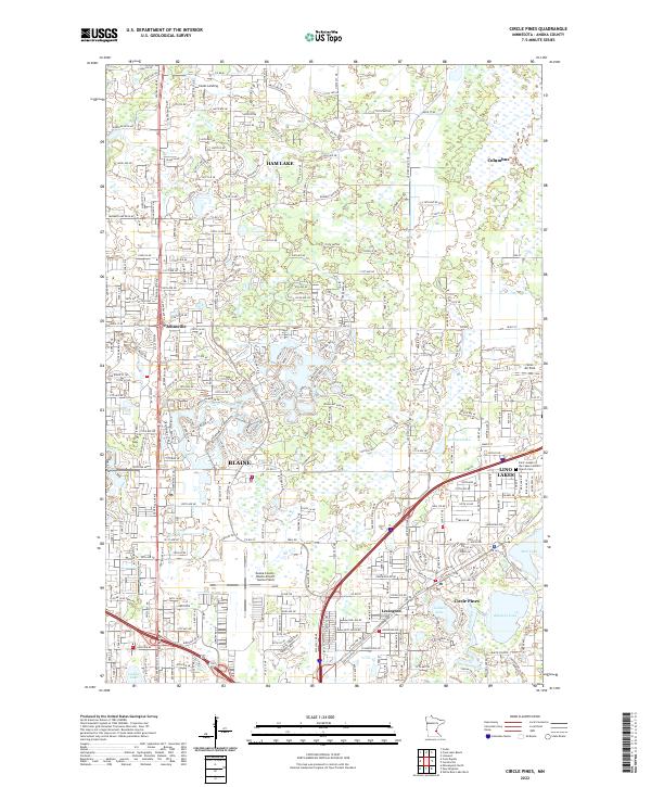
The suburban and lakeside developments of northern Anoka County are thoroughly documented in this 2022 survey, showcasing the established communities of Blaine, Circle Pines, and Lexington. The map reveals a landscape defined by significant water bodies, including the large Rice Lake and the connected waters of Golden Lake and Baldwin Lake. The local aviation infrastructure is prominent, featuring both the Anoka County-Blaine Airport and the smaller Lino Air Park.
Find a feature on this map
97 named features on this map. Tap any name to fly to it.
Don’t see what you’re looking for? This feature index may not catch every label — zoom into the map to look around manually.
Map Details
Date Portrayed2022
Date Published2022
PublisherU.S. Geological Survey
Map TypeTopographic
Scale1:24000
Physical Dimensions24 x 29 inches
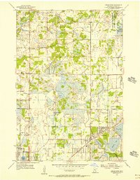
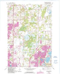
Editions of this 2022 Circle Pines Map
This is the sole edition of this map. No revisions or reprints were ever made.
Historical Maps of Johnsville Through Time
3 maps found
Featured Locations
Source Details
SourceU.S. Geological Survey
CopyrightPublic Domain