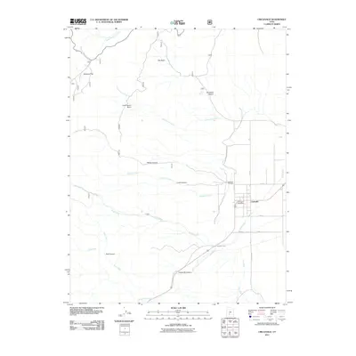
2011 Map of Circleville
USGS Topo · Published 2011About this map
Circleville serves as the focal point of this 2011 survey, situated along the valley floor where the Sevier River flows northward toward the Great Basin. The town's grid is established adjacent to the Kingston Canal, reflecting the vital role of water management in this high-altitude landscape. To the west, the terrain rises sharply into a series of drainage basins and canyons, including Oak Basin, Cottonwood Basin, and Wades Canyon. These features indicate a rugged transition from the fertile valley to the high plateau country. Local landmarks such as the Circleville Cemetery and the Circleville Post Office provide essential reference points for genealogists and local historians. The map also traces numerous seasonal and perennial waterways like Birch Creek and Bullberry Creek, which carve through Circleville Canyon and Lums Canyon, illustrating the complex drainage patterns that define the region's geography.
Find a feature on this map
27 named features on this map. Tap any name to fly to it.
Don’t see what you’re looking for? This feature index may not catch every label — zoom into the map to look around manually.
Map Details
Editions of this 2011 Circleville Map
This is the sole edition of this map. No revisions or reprints were ever made.
Other maps of this area

1885 · Beaver
USGS Topo · 1:250,000

1937 · Delano Peak
USGS Topo · 1:48,000

1943 · Delano Peak
USGS Topo · 1:62,500

1945 · Marysvale
USGS Topo · 1:62,500

1947 · Marysvale
USGS Topo · 1:62,500

1953 · Richfield
USGS Topo · 1:250,000

1958 · Richfield
USGS Topo · 1:250,000

1966 · Bull Rush Peak
USGS Topo · 1:24,000

1966 · Circleville
USGS Topo · 1:24,000

1966 · Fremont Pass
USGS Topo · 1:24,000