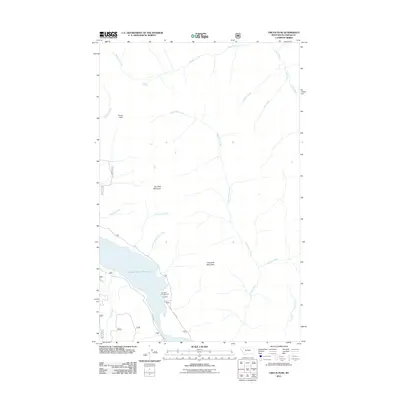
2011 Map of Circus Peak
USGS Topo · Published 2011About this map
Hungry Horse Reservoir dominates the southwestern corner of this Flathead County landscape, where the waters of the South Fork Flathead River are impounded. The terrain is defined by a series of prominent summits including Circus Peak, Dry Park Mountain, and Crossover Mountain, which dictate the complex drainage patterns of the region. Forest Service infrastructure is evident through the naming of W Side Rd and E Side Rd, which skirt the reservoir to provide access to more remote areas. Local recreation and land management are anchored by the Crossover Campground, situated near the shoreline where Lower Twin Creek feeds into the main body of water. Numerous tributaries such as Bergsicker Creek, Baptiste Creek, and Toboggan Creek carve through the high country, illustrating the rugged hydrological network of this section of the Flathead National Forest.
Find a feature on this map
20 named features on this map. Tap any name to fly to it.
Don’t see what you’re looking for? This feature index may not catch every label — zoom into the map to look around manually.
Map Details
Editions of this 2011 Circus Peak Map
This is the sole edition of this map. No revisions or reprints were ever made.
Other maps of this area

1913 · Marias Pass
USGS Topo · 1:125,000

1914 · Nyack
USGS Topo · 1:125,000

1936 · Silvertip
USGS Topo · 1:96,000

1942 · Silvertip
USGS Topo · 1:125,000

1955 · Choteau
USGS Topo · 1:250,000

1957 · Choteau
USGS Topo · 1:250,000

1958 · Choteau
USGS Topo · 1:250,000

1958 · Circus Peak
USGS Topo · 1:24,000

1958 · Nimrod
USGS Topo · 1:24,000

1958 · Quintonkon
USGS Topo · 1:24,000