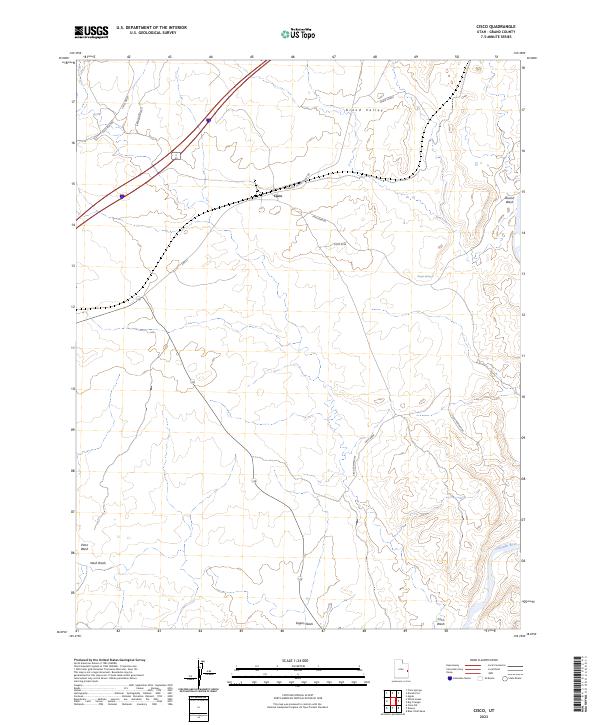
2023 Map of Cisco
USGS Topo · Published 2023About this map
Cisco stands as a focal point in this high-desert landscape of Grand Valley, situated along a network of transport routes and natural drainages. This modern survey illustrates the enduring importance of water in an arid environment, noting features like Cisco Springs, Hogan Spring, and the prominent Broadhead Well. The area's infrastructure is defined by its relation to the railroad and river, with Agate Siding positioned to the north and the Colorado River cutting through the southeast corner. The terrain is deeply etched by numerous seasonal watercourses, including Sagers Wash, Cisco Wash, and Danish Wash, which drain the surrounding Cisco Area. These geographic markers provide essential context for researchers tracing the development of ranching and transit corridors in eastern Utah.
Find a feature on this map
18 named features on this map. Tap any name to fly to it.
Don’t see what you’re looking for? This feature index may not catch every label — zoom into the map to look around manually.
Map Details
Editions of this 2023 Cisco Map
This is the sole edition of this map. No revisions or reprints were ever made.
Other maps of this area

1885 · East Tavaputs
USGS Topo · 1:250,000

1885 · La Sal
USGS Topo · 1:250,000

1954 · Westwater 4 SW
USGS Topo · 1:24,000

1954 · Mt. Waas 1 SW
USGS Topo · 1:24,000

1954 · Mt. Waas 1 NW
USGS Topo · 1:24,000

1954 · Coates Creek
USGS Topo · 1:62,500

1955 · Mt. Waas 2 SE
USGS Topo · 1:24,000

1956 · Moab
USGS Topo · 1:250,000

1956 · Grand Junction
USGS Topo · 1:250,000

1958 · Cisco
USGS Topo · 1:62,500