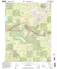
2000 Map of Cisco Grove
USGS Topo · Published 2003About this map
Tahoe National Forest encompasses the high Sierra terrain where the South Fork Yuba River and North Fork American River originate. This landscape, centered around Cisco Grove and Big Bend, reflects a dense layer of transportation and recreational history. The corridor follows the historic path of the Overland Emigrant Trail and the Southern Pacific railroad line, essential arteries for transcontinental movement. Several youth camps, including the Main Sierra Boy Scout Camp and the Woodchuck 4H Club Camp at Woodchuck Flat, highlight the region's 20th-century transition into a recreational destination. Significant water management features like Lake Spaulding and the Lake Valley Reservoir dominate the hydrology, while legacy mining is evidenced by the Carlisle Mine near Old Man Mountain.
Find a feature on this map
62 named features on this map. Tap any name to fly to it.
Don’t see what you’re looking for? This feature index may not catch every label — zoom into the map to look around manually.
Map Details
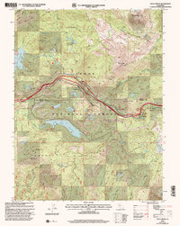
Editions of this 2000 Cisco Grove Map
2 editions found
Other maps of this area

1891 · Colfax
USGS Topo · 1:125,000

1891 · Truckee
USGS Topo · 1:125,000

1892 · Colfax
USGS Topo · 1:125,000

1893 · Truckee
USGS Topo · 1:125,000

1894 · Colfax
USGS Topo · 1:125,000

1895 · Truckee
USGS Topo · 1:125,000

1898 · Colfax
USGS Topo · 1:125,000

1900 · Colfax
USGS Topo · 1:125,000

1902 · Colfax
USGS Topo · 1:125,000

1932 · Truckee
USGS Topo · 1:96,000